Kerncliffe Trail System trail photo
See all photos (5)
×
User
Today
 
  |   Rate it:

Tags:
Level: Intermediate
Length: 15 mi (24.1 km)
Surface: Singletrack
Configuration: Network
Elevation: +158/ -165 ft
Total: 36 riders
 

Mountain Biking Kerncliffe Trail System

****   Add a review
#56 of 312 mountain bike trails in Ontario
#2,865 in the world

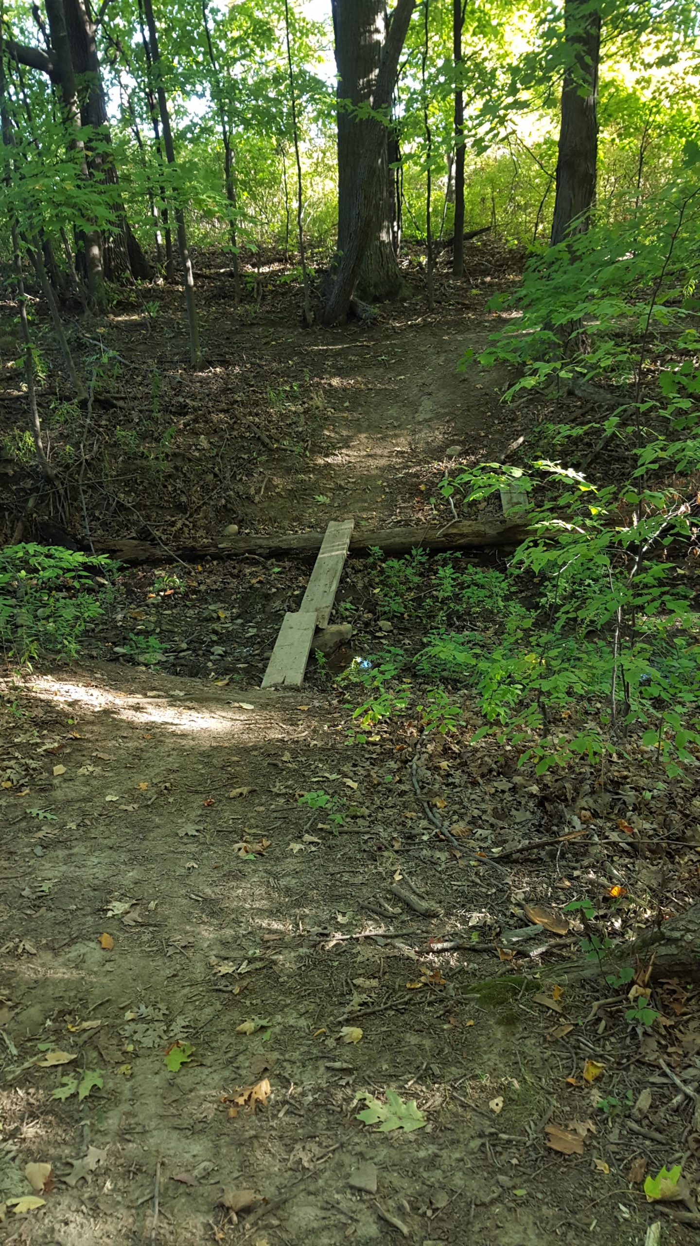
Trails are un-marked. West end of network is rocky and technical. East end of network is steep and flows

First added by Robertrose on Aug 28, 2014. Last updated Apr 28, 2020. → add an update
Before you go
  • Drinking water: unknown
  • Lift service: unknown
  • Night riding: unknown
  • Pump track: yes
  • Restrooms: unknown
  • Fat bike grooming: unknown
  • E-bikes allowed: unknown
  • Fee required: unknown
This trail information is user-generated. Help improve this information by suggesting a correction.
Getting there
Mountainview Road


Kerncliffe Trail System Trail map

Add to or improve this map // Share this map on your website

Local Info

Club Sponsor

-

Local Bike Shop

Trail checkins

Brian Kimbel (on Jul 16, 2022)
What's this?

Upcoming Events

None.
Add one

Trail conditions

Good (on Sep 18, 2019)
login to update

Camping & Lodging

Coming soon!

Kerncliffe Trail System videos

Add a video
We don't have any videos of this trail yet. Add one here.

Mountain Bike Trails Near Hamilton, Ontario

****
Intermediate | 7 mi
| 20 mi
****
Easiest | 50 mi
****
Beginner | 25 mi

Add a review

Rating
 
Difficulty
 
Review

Reviews

    Loading reviews...

Rider questions

Q: Where is the pump track