×

|
Rate it:
Tags:
Level:
Length: 20 mi (32.2 km)
Surface: Other
Configuration: Network
Elevation: -
Total: 4 riders
Mountain Biking Kandal Province
#1 of 2 mountain bike trails in Cambodia
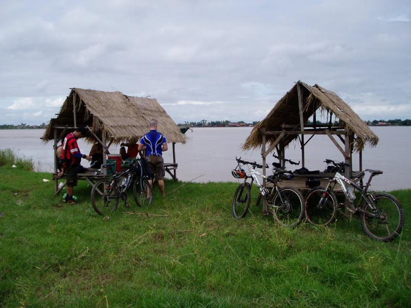
Mostly hard packed roads with alot of mud, Depending on the time of the year. Hundreds of connecting roads and trails. You will need to ensure you have a GPS or a local riding along. People are very friendly, many small stands to buy drinks and snacks. Can ride from 20 to 40 miles depending on your skill. All flat terrain but many things to see.
First added by dlmleo on Oct 12, 2008. Last updated Apr 28, 2020. → add an update
Before you go
- Drinking water: unknown
- Lift service: unknown
- Night riding: unknown
- Pump track: unknown
- Restrooms: unknown
- Fat bike grooming: unknown
- E-bikes allowed: unknown
- Fee required: unknown
This trail information is user-generated. Help improve this information by suggesting a correction.
Ride starts when you take the Ferry across the Mekong. Boat is located about 1000 meters south of he Japanese bridge.


Loading reviews...View more