×

|
Rate it:
Tags:
Level: Beginner
Length: 31 mi (49.9 km)
Surface: Doubletrack
Configuration: Out & Back
Elevation: +211/ -97 ft
Total: 18 riders
Mountain Biking High Bridge Trail
#146 of 300 mountain bike trails in Virginia
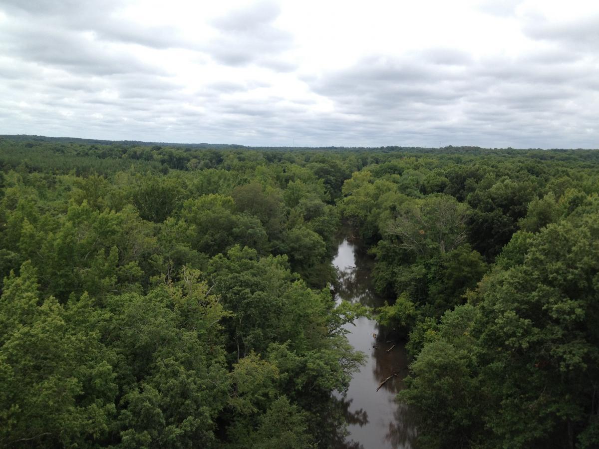
This is an old abandon railroad bed, that was taken over by the Virginia State Park system and converted into a beautiful hike, bike, and horse, trail. It goes over the Appomattox River and over the (hence the name) High Bridge.
First added by TrailAPI on Apr 13, 2013. Last updated May 1, 2020. → add an update
Before you go
- Drinking water: unknown
- Lift service: unknown
- Night riding: unknown
- Pump track: unknown
- Restrooms: unknown
- Fat bike grooming: unknown
- E-bikes allowed: unknown
- Fee required: unknown
This trail information is user-generated. Help improve this information by suggesting a correction.
Route 460 to Pamplin City (western part of the trail), follow signs for High Bridge Trail.
Route 360 in Burkeville (eastern part of the trail), take Route 460 and follow signs for High Bridge Trail.
-OR-
Anywhere along Route 460 in the small towns of Elam, Prospect, Tuggle, the city of Farmville, and again in the small towns of Rice, Moran, and Burkeville.
System trails (1)


Loading reviews...View more