×

|
Rate it:
Tags:
Level: Easiest
Length: 2 mi (3.2 km)
Surface: Fire Road
Configuration: Out & Back
Elevation: +30/ -20 ft
Total: 8 riders
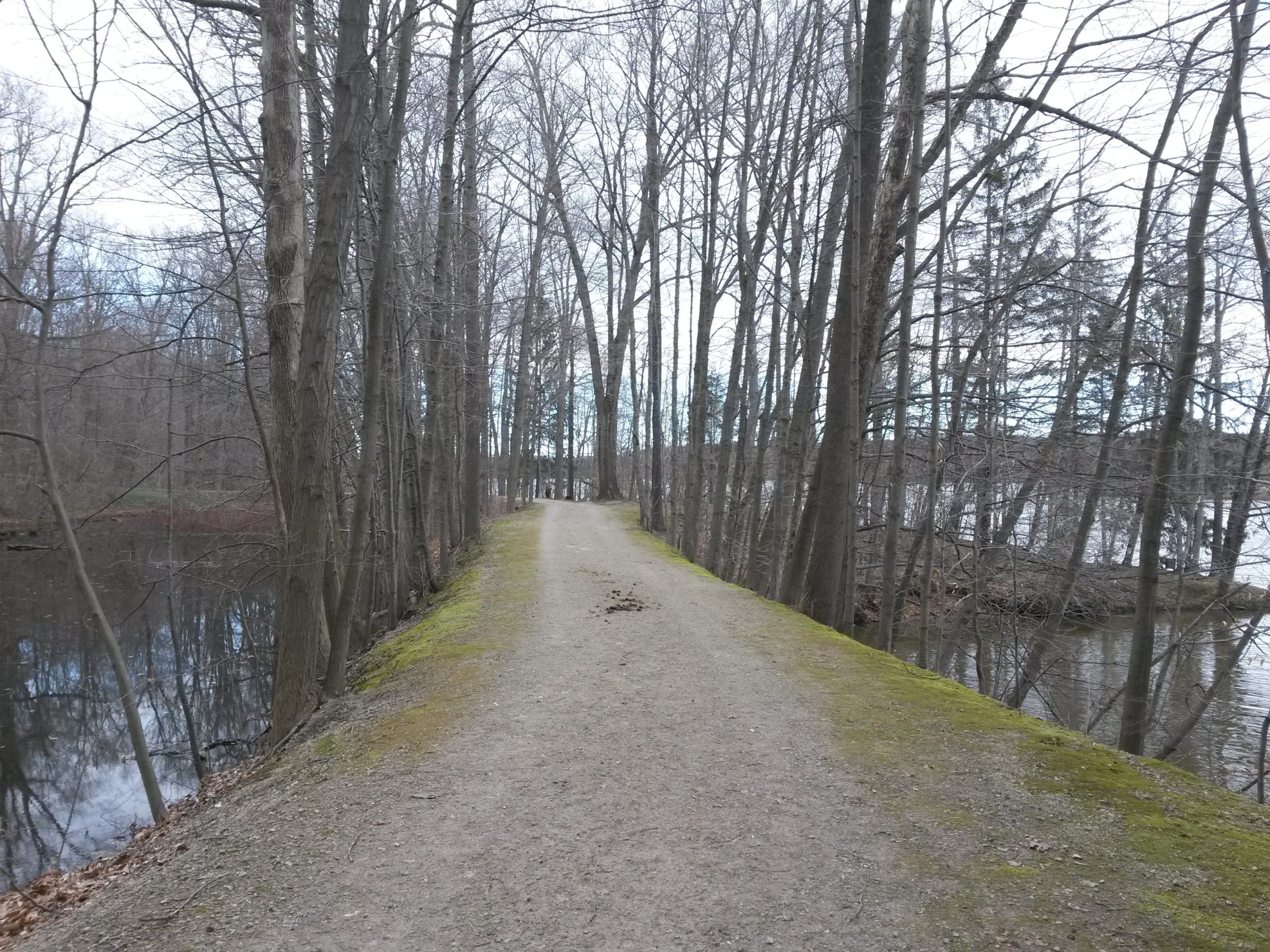
Mountain Biking Headwaters Park segment - Buckeye Trail
#82 of 116 mountain bike trails in Ohio
Not really a mtb trail, but enough to get out on when everything else is too muddy. About 2.5 miles of gravel fire road along the lake shore, with good scenery.
First added by swampboy62 on Mar 6, 2017. Last updated Apr 21, 2020. → add an update
Before you go
- Drinking water: unknown
- Lift service: unknown
- Night riding: unknown
- Pump track: unknown
- Restrooms: yes
- Fat bike grooming: unknown
- E-bikes allowed: unknown
- Fee required: unknown
This trail information is user-generated. Help improve this information by suggesting a correction.
Parking and access from both route 322 & route 608. Also accessible from Maple Highlands Trail (rail trail).


Loading reviews...View more