×

|
Rate it:
Tags:
Level: Advanced
Length: 15 mi (24.1 km)
Surface: Singletrack
Configuration: Network
Elevation: +261/ -264 ft
Total: 14 riders
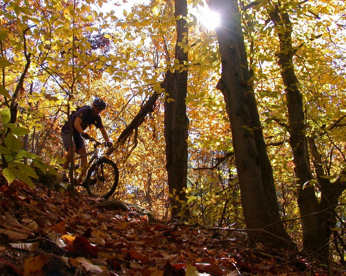
Mountain Biking Forest Lea Trail System
#57 of 312 mountain bike trails in Ontario
Purpose built mtn bike singletrack in a stacked loop system. Rocky and rooty. Map at www.forestleatrails.blogspot.com
First added by alvin.santoy on Mar 1, 2013. Last updated May 11, 2020. → add an update
Before you go
- Drinking water: unknown
- Lift service: unknown
- Night riding: yes
- Pump track: unknown
- Restrooms: unknown
- Fat bike grooming: unknown
- E-bikes allowed: unknown
- Fee required: unknown
This trail information is user-generated. Help improve this information by suggesting a correction.
West end of Forest Lea Rd, 5km from TransCanada Hwy between Pembroke and Petawawa


Loading reviews...View more