×

|
Rate it:
Tags:
Level:
Length: 5 mi (8 km)
Surface: Singletrack
Configuration: Out & Back
Elevation: +55/ -604 ft
Total: 12 riders
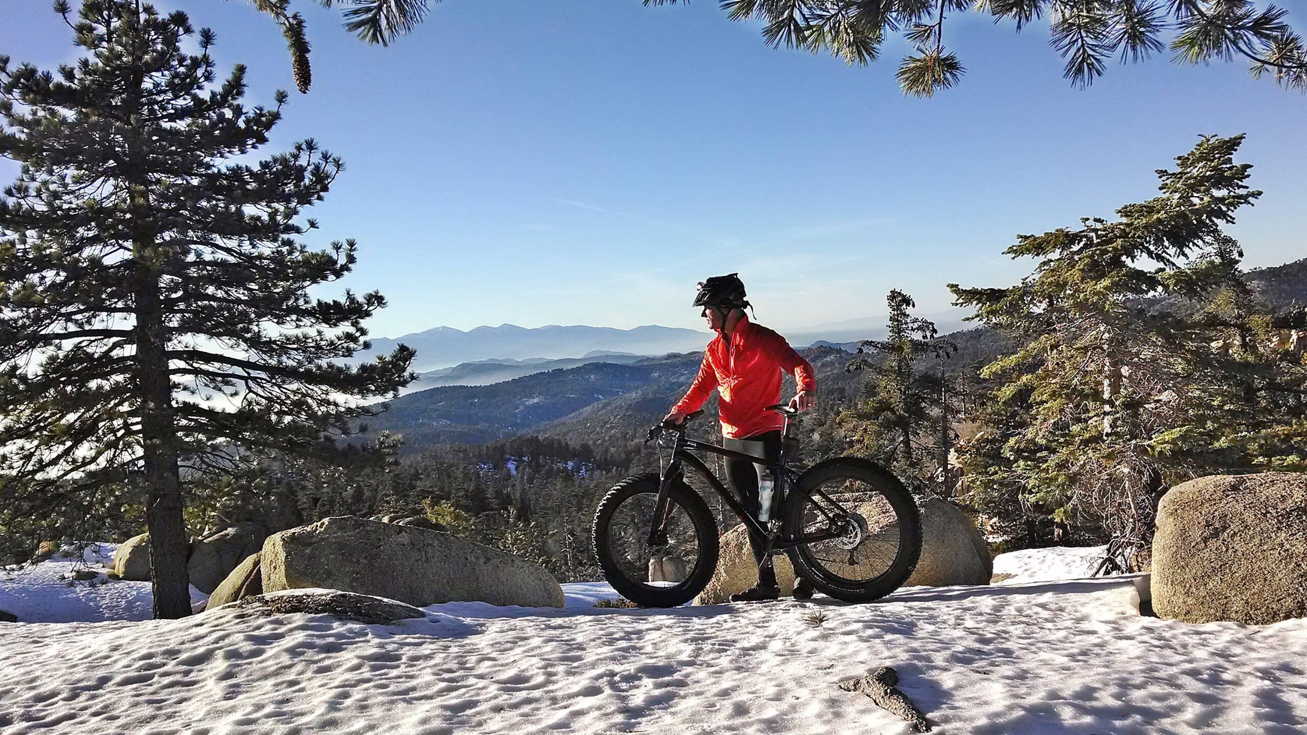
Mountain Biking Exploration Trail
#713 of 1,005 mountain bike trails in California
The Exploration Trail is a family friendly, non-motorized 4.5 mile trail with a 12% grade. This trail was designed by children along with the U.S. Forest Service personnel and other professionals. There are interpretive panels located throughout the 0.75 mile Interpretive Trail Loop section near the Upper Exploration trail. During winter, the trail offers an exciting snowshoe or cross country skiing trek. source: fs.usda.gov
First added by Jeff Barber on Dec 24, 2014. Last updated May 2, 2020. → add an update
Before you go
- Drinking water: unknown
- Lift service: unknown
- Night riding: unknown
- Pump track: unknown
- Restrooms: unknown
- Fat bike grooming: unknown
- E-bikes allowed: unknown
- Fee required: unknown
This trail information is user-generated. Help improve this information by suggesting a correction.
Take State Highway 18 or 330 to Running Springs. Go past the village and immediately after the Deerlick Fire Station turn right on Keller Peak Road (1N96).


Loading reviews...View more