×

|
Rate it:
Tags:
Level: Intermediate
Length: 10 mi (16.1 km)
Surface: Singletrack
Configuration: Network
Elevation: +2,750/ -1,077 ft
Total: 19 riders
Mountain Biking Emmanuel Pines Trail System
#120 of 410 mountain bike trails in Arizona
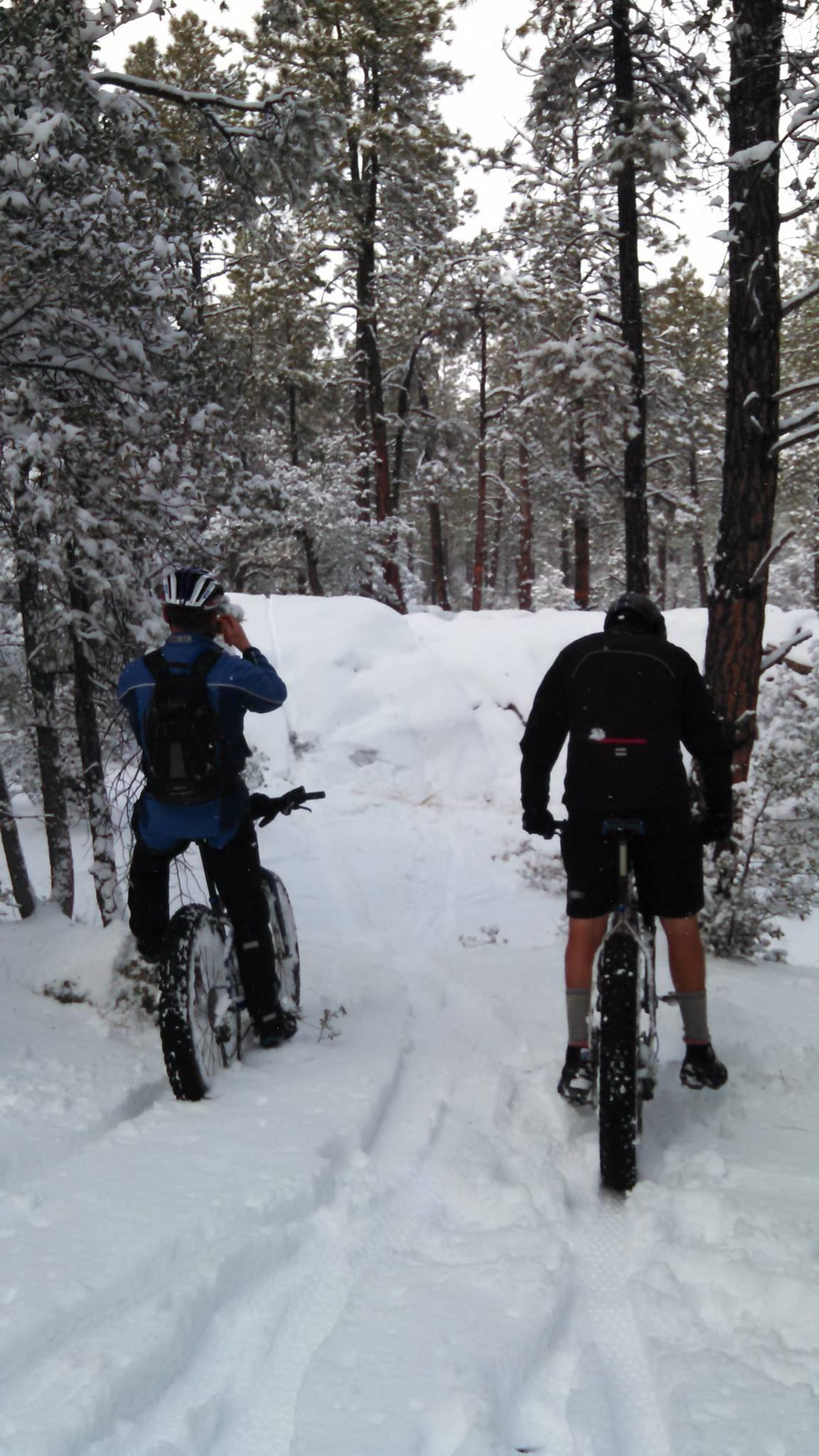
Prescott's Secret Trails...all kinds of stuff. Really easy to get lost. The only trail marked is 332. You can take these trails up to Granite Basin or over to Thumb Butte. Have fun getting lost. Lots of obstacles and lines people have set up. Rocks to climb. Just good stuff.
First added by gman122889 on Apr 8, 2012. Last updated May 2, 2020. → add an update
Before you go
- Drinking water: unknown
- Lift service: unknown
- Night riding: unknown
- Pump track: unknown
- Restrooms: unknown
- Fat bike grooming: unknown
- E-bikes allowed: unknown
- Fee required: unknown
This trail information is user-generated. Help improve this information by suggesting a correction.
Park at the Parking Lot at the Corner of Granite Basin Road and Iron Springs Road. Ride the Road right out of the parking lot. Look for the Emmanuel Pines Sign and turn Left down that Road. It will turn to dirt. There's an area on your right where the single track starts.


Loading reviews...View more