×

|
Rate it:
Tags:
Level:
Length: 6 mi (9.7 km)
Surface: Other
Configuration: Out & Back
Elevation: +46/ -665 ft
Total: 10 riders
Mountain Biking Ellis Trail
#136 of 283 mountain bike trails in New Mexico
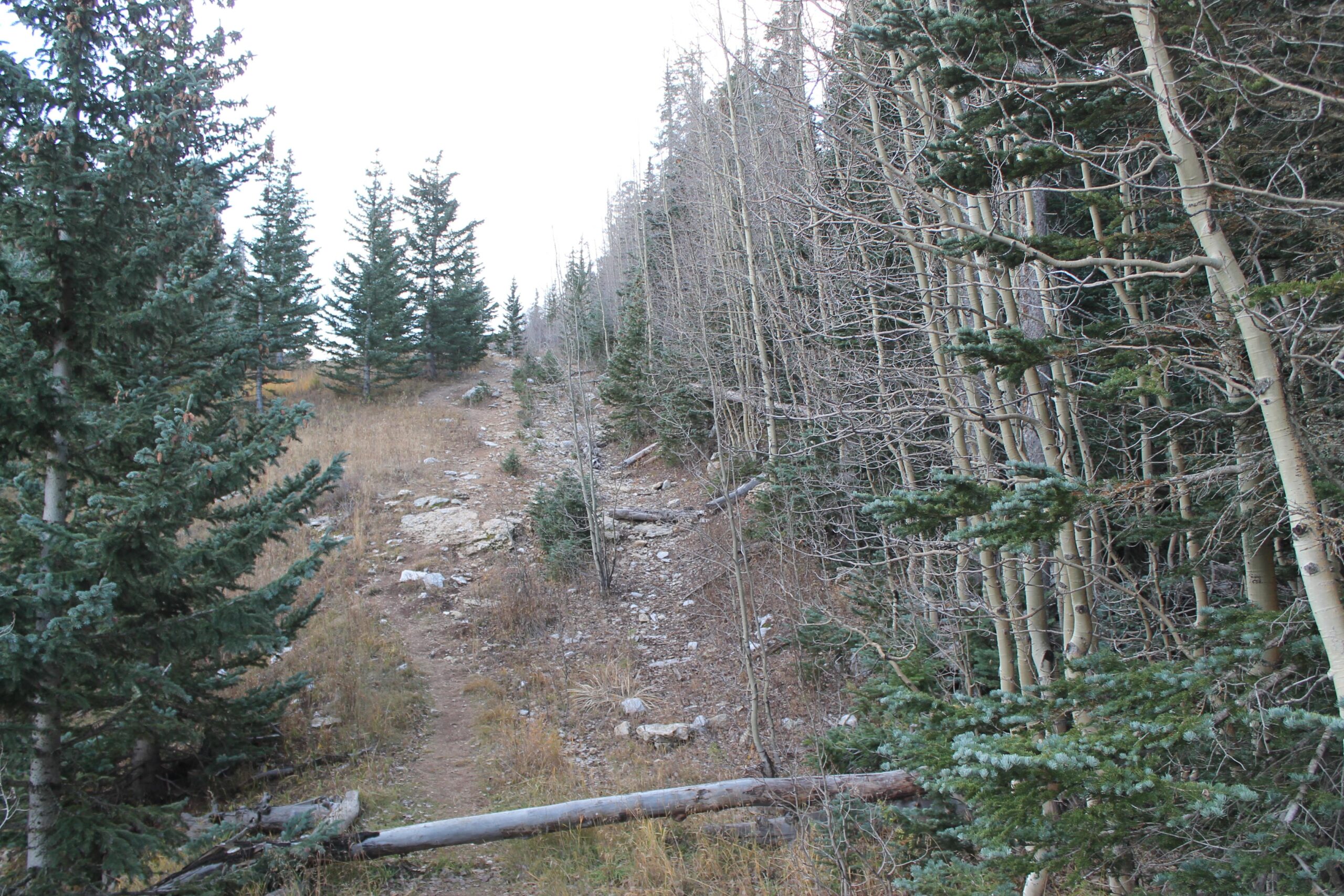
The trail starts across the highway from the parking area and heads north for about 2.8 miles before running into the Sandia Mountain Wilderness Area. It is a mix of doubletrack and singletrack mostly following break in the woods which traverses the Sandia Crest. This trail runs mostly parallel to the North 10K Trail, just a few hundred feet higher.
First added by John Fisch on Oct 23, 2014. Last updated Apr 27, 2020. → add an update
Before you go
- Drinking water: unknown
- Lift service: unknown
- Night riding: unknown
- Pump track: unknown
- Restrooms: unknown
- Fat bike grooming: unknown
- E-bikes allowed: unknown
- Fee required: unknown
This trail information is user-generated. Help improve this information by suggesting a correction.
From the town of Cedar Crest, head north out of town on highway 14 and make a left onto highway 536 which goes to the Sandia Peak Ski Area. Go 12.2 miles up the highway and look for a large parking area on the left.


Loading reviews...View more