


The trail network at Doncaster DF is a combination of access roads and single track trail offshoots. There are typically maps available at the hunter check-in booth. There is no visitor center, no facilities, and no admission fee. Be considerate of hunters during open hunting season, because they will be out in the mornings.
Keep a close watch for Private Property signs because some of the trail networks leave the State forest property and continue into private property. This is unfortunate because it would definitely extend the singletrack available.
The forest and trail network is split between trails north and south of Hwy 6. Take a map and a compass to complement your GPS so you don't get lost. Trail markings are in place but it's easy to get turned around.
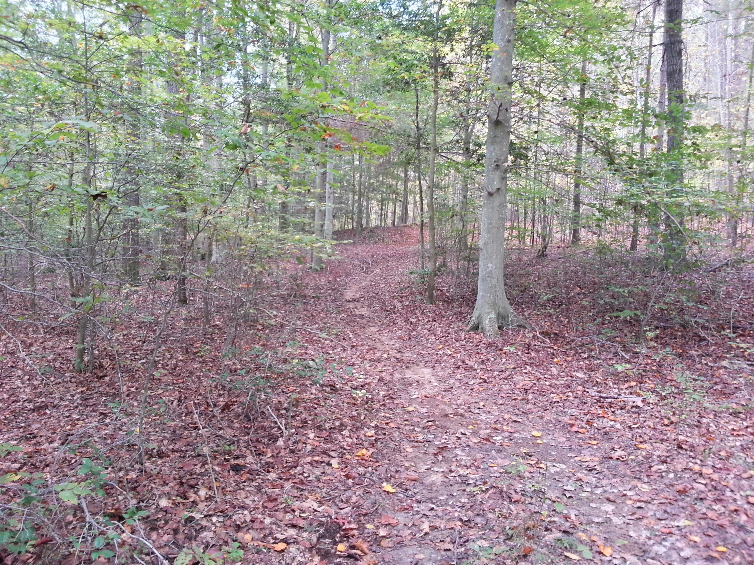
The singletrack sections are fast and flowing through full hardwood canopy, but be on the lookout for obstacles and crossings that you can come up on fast. Elevation gain is minimal, with about 600 ft in a 10-mile ride.
The trails are also open to horse riding, so some of the lowland sections near water will be tougher to ride. Numerous stream crossings are covered by good bridges with tar paper but no transition.
The trail is maintained annually so you may encounter a lot of downed trees. Stop to clear debris when you can.
More details will be posted as I spend more time on the trail.
Link to Maryland DNR:
http://www.dnr.state.md.us/publiclands/southern/DoncasterDF.asp

Loading reviews...View more