×

|
Rate it:
Tags:
Level: Advanced
Length: 19 mi (30.6 km)
Surface: Singletrack
Configuration: One-way
Elevation: +988/ -1,809 ft
Total: 3 riders
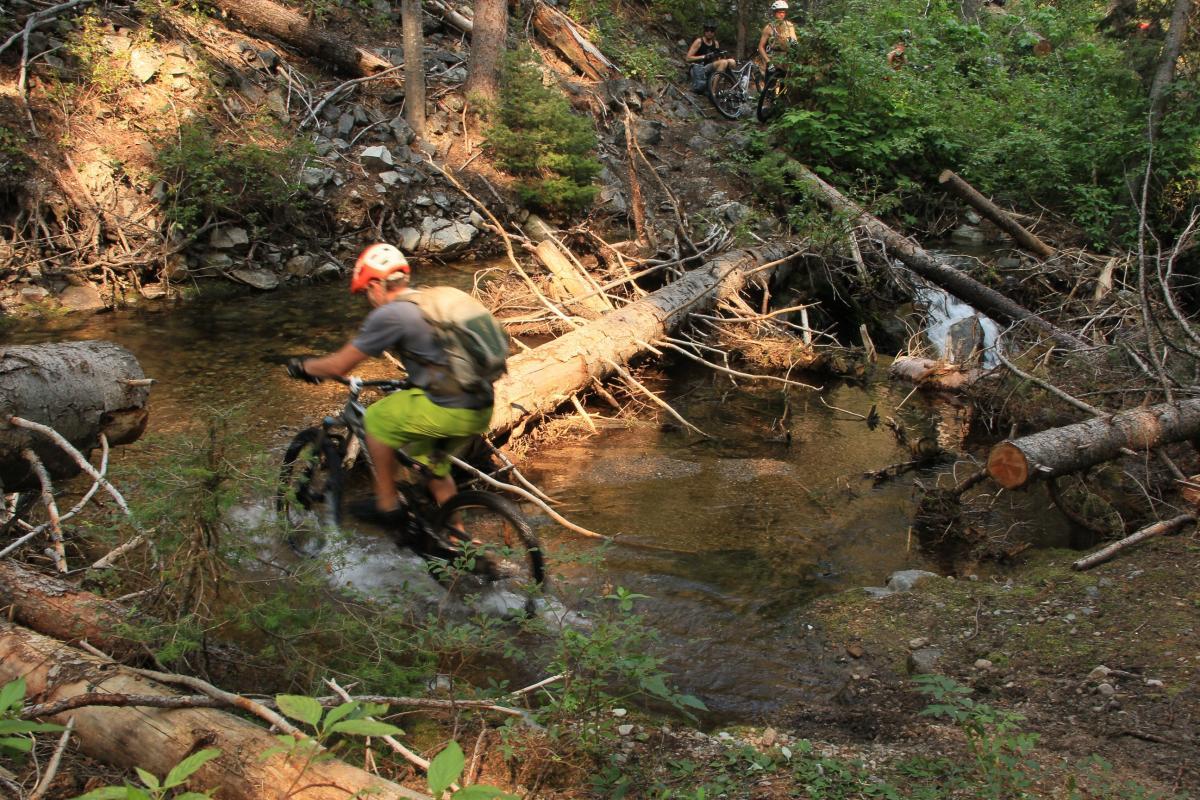
Mountain Biking Divide To Twin Creek
#75 of 317 mountain bike trails in Idaho
This trail is part of the National Recreational Trails system. Singletrack along Divide Ridge and down into Twin Creek.
First added by chukt on Jan 3, 2011. Last updated Apr 28, 2020. → add an update
Before you go
- Drinking water: unknown
- Lift service: unknown
- Night riding: unknown
- Pump track: unknown
- Restrooms: unknown
- Fat bike grooming: unknown
- E-bikes allowed: unknown
- Fee required: unknown
This trail information is user-generated. Help improve this information by suggesting a correction.
The start of this trail is near Saddle Mountain. From the top of Lost Trail Pass head up through the ski area and follow the road.


Loading reviews...View more