×

|
Rate it:
Tags:
Level: Intermediate
Length: 9 mi (14.5 km)
Surface: Other
Configuration: Loop
Elevation: +62/ -49 ft
Total: 6 riders
Mountain Biking Days River Pathway
#61 of 319 mountain bike trails in Michigan
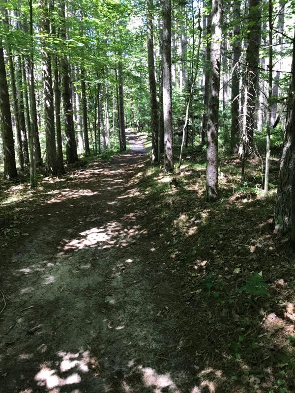
The trail has various loops of varying difficulty and distance. Several singletrack trails off the main path. Trail is well marked and sandy at times.
First added by on Aug 16, 2013. Last updated Apr 28, 2020. → add an update
Before you go
- Drinking water: unknown
- Lift service: unknown
- Night riding: unknown
- Pump track: unknown
- Restrooms: unknown
- Fat bike grooming: unknown
- E-bikes allowed: unknown
- Fee required: unknown
This trail information is user-generated. Help improve this information by suggesting a correction.
From Gladstone travel North on M-35. Turn Right on Days River 24.5 Rd. One mile To trailhead. Signs are posted.
Featured in


Loading reviews...View more