×

|
Rate it:
Tags:
Level:
Length: 30 mi (48.3 km)
Surface: Doubletrack
Configuration: Other
Elevation: +1,065/ -1,557 ft
Total: 5 riders
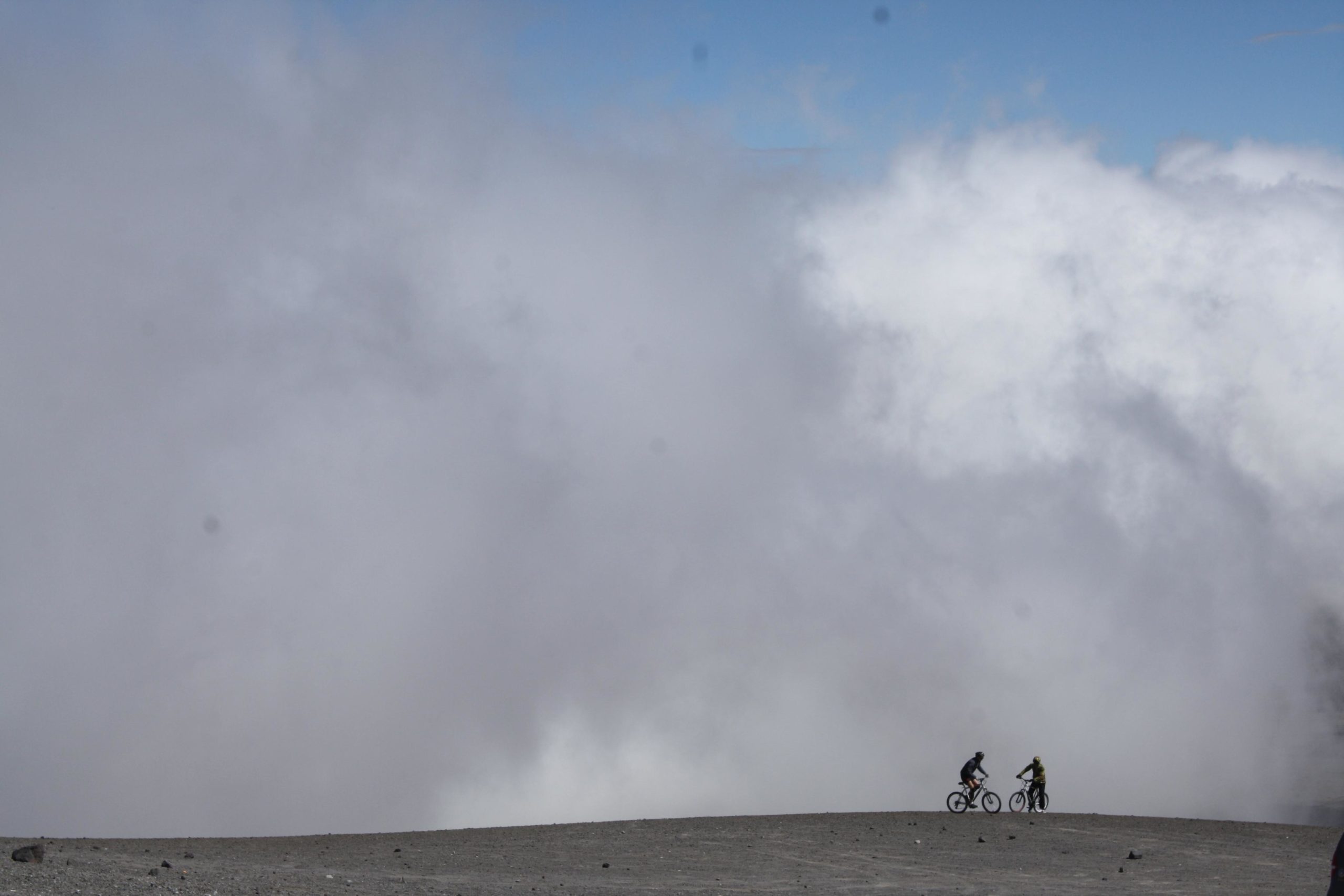
Mountain Biking Cotopaxi Volcano National Park
#4 of 13 mountain bike trails in Ecuador
Drive through páramo landscape to highest point. Enjoy stunning view of 8 different volcanoes.
The bike adventure on the world’s highest active volcano begins. Bike on dirt roads through volcanic ash and páramo landscape to Inca ruin at 3.700 m Packed lunch while keeping an eye towards the sky - you might see a condor! In the afternoon bike on dirt roads and single track down from Lake Limpiopungo through pine forest.
Altitudes: 4500-3200 m. (15000-10600 ft.)
Trip Rating: Moderate.
This is where it all started for me, and the passion never stopped growing !
First added by Silverhead on Jul 31, 2008. Last updated Apr 28, 2020. → add an update
Before you go
- Drinking water: unknown
- Lift service: unknown
- Night riding: unknown
- Pump track: unknown
- Restrooms: unknown
- Fat bike grooming: unknown
- E-bikes allowed: unknown
- Fee required: unknown
This trail information is user-generated. Help improve this information by suggesting a correction.
Go to Quito, Ecuador and contact "Biking Dutchman"
www.bikingdutchman.com


Loading reviews...View more