Continental Divide Trail - Bradley Gulch to Sheep Creek

Continental Divide Trail - Bradley Gulch to Sheep Creek trail photo
See all photos (8)
×
User
Today
 
  |   Rate it:

Tags:
Level:
Length: 13 mi (20.9 km)
Surface: Singletrack
Configuration: One-way
Elevation: +438/ -1,300 ft
Total: 2 riders
 

Mountain Biking Continental Divide Trail - Bradley Gulch to Sheep Creek

*****   Add a review
#96 of 317 mountain bike trails in Idaho
#6,081 in the world

From Big Hole Pass ride south away from the pass on the two track road. There are a couple short steep climbs, look for the Continental Divide Trail on the left after about a mile.

The CDT is good, rolling singletrack through woods for close to 2 miles then comes to a hunting camp on a ridge and meets a two-track.

Look for a gate across the road and descend on this steep road. There is new trail being constructed rerouting the CDT away from this road and is not yet complete as of early 2013.

The steep roadbed levels out, descends more gradually and is generally overgrown making it more like singletrack. Signs of old mining activity are everywhere and the road comes to a major stream crossing.

After getting your feet wet, follow the road past the old cabin then to a trail junction. Go right, away from the CDT and onto Sheep Creek Trail. The road bed drops to another stream crossing.

Here the ride joins singletrack and stays fairly close to the creek briefly then climbs steeply away from it. The trail continues to climb, about 1000' in the next 2 miles, and is mostly ridable w/ short steep pushes mixed w/ level sidehills.

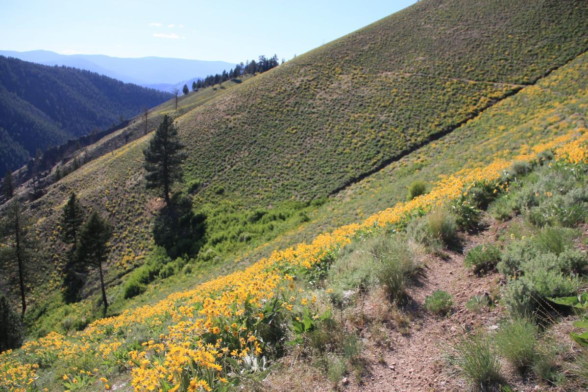
The trail crosses a ridge and descends 500' vertical then sidehills across an open face to another ridge.

Now the trail drops through the woods on great singletrack, steeply at times, for 1200' in Elkhorn Gulch.

At the bottom is another shallow stream crossing and the ride stays on the right side of Sheep Creek. The shrubs can get thick along this stretch and the trail then comes out on gravel road.

Follow this down the canyon to the highway.

First added by chukt on Jun 25, 2013. Last updated Apr 28, 2020. → add an update
Before you go
  • Drinking water: unknown
  • Lift service: unknown
  • Night riding: yes
  • Pump track: unknown
  • Restrooms: unknown
  • Fat bike grooming: unknown
  • E-bikes allowed: unknown
  • Fee required: unknown
This trail information is user-generated. Help improve this information by suggesting a correction.
Getting there
Whether shuttling this ride or riding it as a loop, leave a car at the end of Sheep Creek Road (#077) about 3 miles south of Gibbonsville and 8 miles north of North Fork.

Start point for this ride is Big Hole Pass. To get there take the Dahlonega Creek Road across from the Broken Arrow Restaurant on US 93. It is about 9.5 miles from US 93 to the Pass.


Continental Divide Trail - Bradley Gulch to Sheep Creek Trail map

Add to or improve this map // Share this map on your website

Local Info

Local Bike Shop

-

Trail checkins

lemhi_mtn_ryder (on Aug 20, 2019)
What's this?

Upcoming Events

None.
Add one

Trail conditions

(on Jun 29, 2015)
login to update

Camping & Lodging

Coming soon!

Continental Divide Trail - Bradley Gulch to Sheep Creek videos

Add a video
We don't have any videos of this trail yet. Add one here.

Mountain Bike Trails Near North Fork, Idaho

*****
Advanced | 50 mi
****
Beginner | 8 mi
| 9 mi
| 11 mi

Add a review

Rating
 
Difficulty
 
Review

Reviews

    Loading reviews...

Rider questions