×

|
Rate it:
Tags:
Level: Intermediate
Length: 9 mi (14.5 km)
Surface: Singletrack
Configuration: Out & Back
Elevation: +1,519/ -537 ft
Total: 9 riders
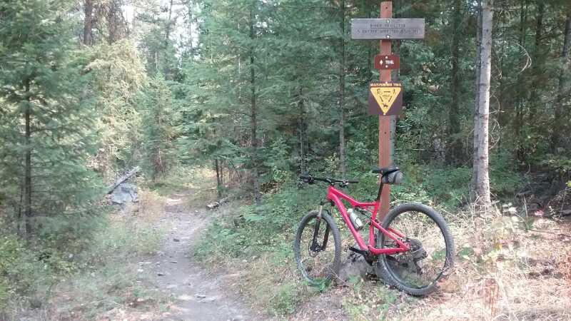
Mountain Biking Clark Fork River Trail #223
#38 of 265 mountain bike trails in Montana
Old growth forest, you'll only hear the river and an occasional train on the other side. Trail has tech climbs on the canyon walls and some rock gardens. Hardly known, beautiful, cool, shady. Best trail I found in Montana.
First added by abegold on May 11, 2009. Last updated Apr 28, 2020. → add an update
Before you go
- Drinking water: unknown
- Lift service: unknown
- Night riding: unknown
- Pump track: unknown
- Restrooms: unknown
- Fat bike grooming: unknown
- E-bikes allowed: unknown
- Fee required: unknown
This trail information is user-generated. Help improve this information by suggesting a correction.
From I-90 northwest of Missoula exit at highway #135 at St. Regis and before reaching Paradise parking lot and trail head on the west side of the highway by the 14 Mile Bridge. Trail is 9 miles each way. Trail starts under train tressel.


Loading reviews...View more