×

|
Rate it:
Tags:
Level: Intermediate
Length: 0.3 mi (0.5 km)
Surface: Singletrack
Configuration: Connector
Elevation: +11/ -11 ft
Total: 13 riders
Mountain Biking Clarence
#81 of 389 mountain bike trails in Wisconsin
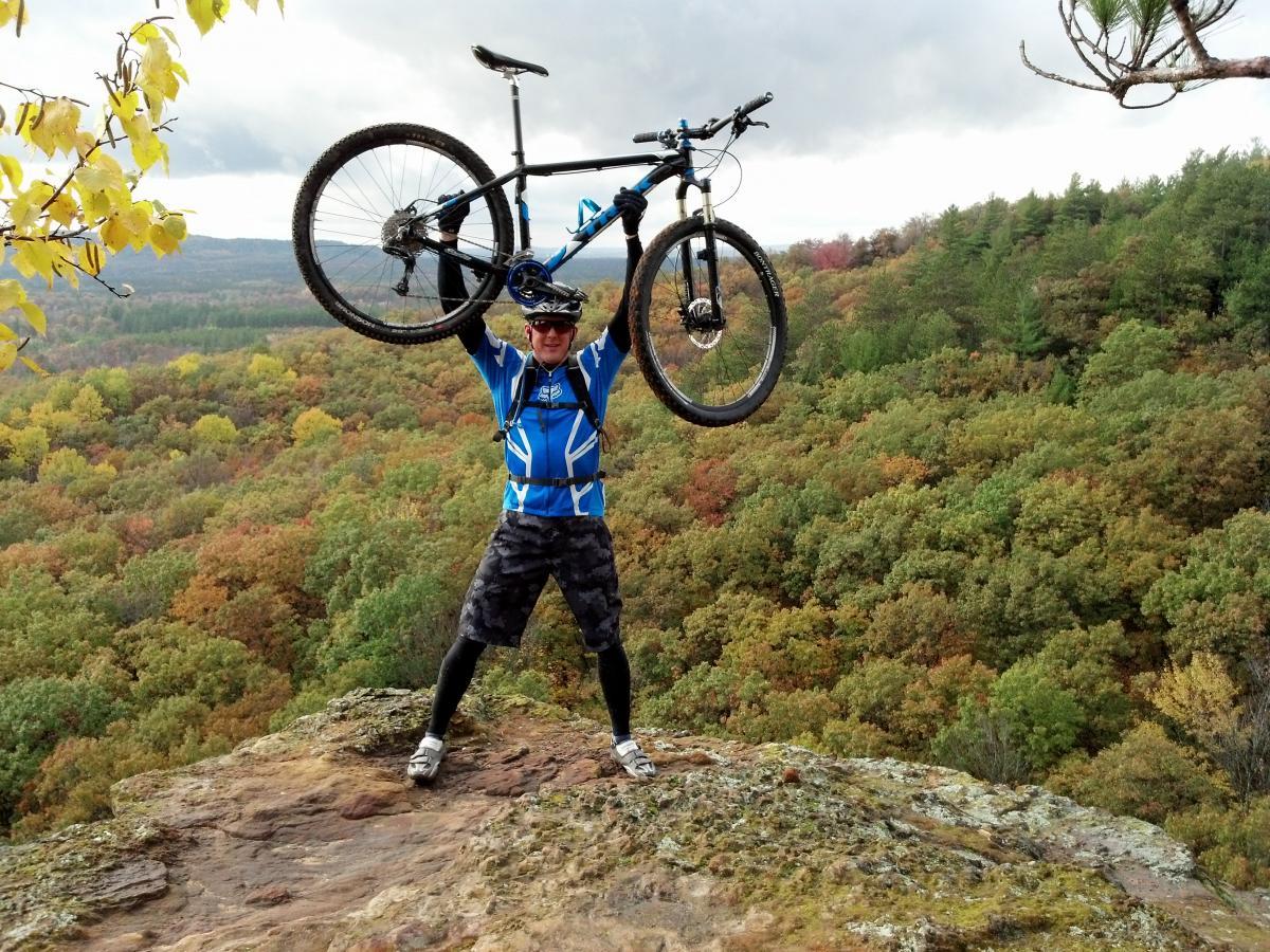
Sweet singletrack on top of the front mound. Several spurs head out onto sandstone outcroppings offering amazing views of the surrounding Clark County forest!
First added by Greg Heil on Aug 26, 2010. Last updated Apr 28, 2020. → add an update
Before you go
- Drinking water: unknown
- Lift service: unknown
- Night riding: yes
- Pump track: unknown
- Restrooms: unknown
- Fat bike grooming: unknown
- E-bikes allowed: unknown
- Fee required: unknown
This trail information is user-generated. Help improve this information by suggesting a correction.
From Black River Falls, go north on hwy 12/27 for 10 miles to Merrillan. Take a right on hwy 95. Go about 7 or 8 miles to fisher rd, turn left or north. (Where couny hwy J goes south to Hatfield, Fisher rd goes north) Go north on Fisher rd for about one mile. Trail center is first dirt/gravel rd on left. Look for brown sign.


Loading reviews...View more