×

|
Rate it:
Tags:
Level: Beginner
Length: 4 mi (6.4 km)
Surface: Singletrack
Configuration: Network
Elevation: +118/ -229 ft
Total: 11 riders
Mountain Biking City Trails - Marietta Hs
#60 of 116 mountain bike trails in Ohio
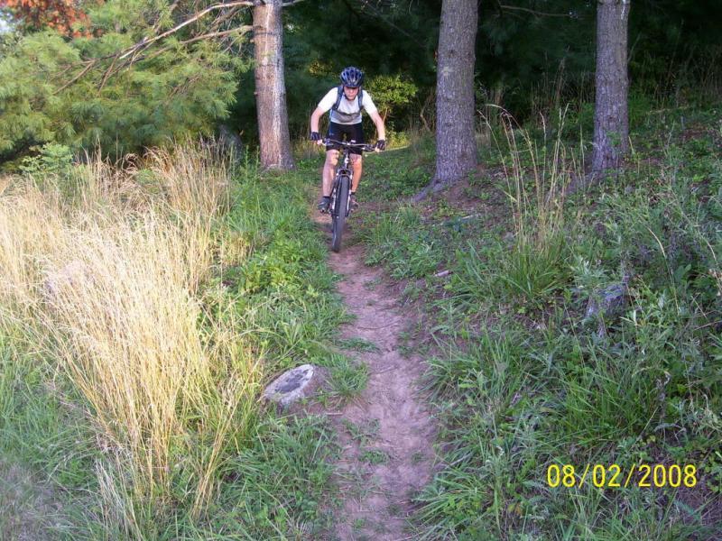
One can enjoy this network of trails in either direction. The loop will take you around and down under the school. As you cross the bridge under the school, go left or right and the trail will loop again. The figure 8 loop is 2 miles total. Off the one loop there is a new trail about 1.5 miles long that connects to the inner loop in two places. About a mile of road can connect you from Kris Mar Woods to this section of trails. Then you can ride back Colgate to the top of the hill at red light, go left for about 100 feet then turn right into the field, see the singletrack marked with a diamond. Follow this trail and it will bring you out on blacktop just above the intersection with Green Street and Colgate Drive. Maps available soon to link all the trails in Marietta together. More trail on the way which will eliminate more road miles between singletrack. Can all be ridden by parking downtown. Visit the wonderfull little town while there. Visit www.rvmba.com for more details as they become available.
First added by Outdoornut on Feb 7, 2009. Last updated May 3, 2020. → add an update
Before you go
- Drinking water: unknown
- Lift service: unknown
- Night riding: unknown
- Pump track: unknown
- Restrooms: unknown
- Fat bike grooming: unknown
- E-bikes allowed: unknown
- Fee required: unknown
This trail information is user-generated. Help improve this information by suggesting a correction.
Enter Marietta OH from I-77, at the first major red light, go right on Acme St. Go to end of street (must go left or right) at Green St. Go left and go to the next light and turn right on Colgate Drive. Follow Colgate till you pass Selby Gen. Hospital, then take the next left. Should be a sign there for Marietta High School. As you near the parking area note the trail to the right and left where the gate used to be. Park in the parking lot. Don't forget to hit the new Cisler Trail up to Jackson Park / Cisler Dr. That's good reason to start over at like Kris-Mar trails and then tie them together with Glendale Rd. and Cisler Drive to add more miles. You can also hit the Middle School (Jr.High) trails nearby Kris-Mar to get even more singletrack miles.


Loading reviews...View more