


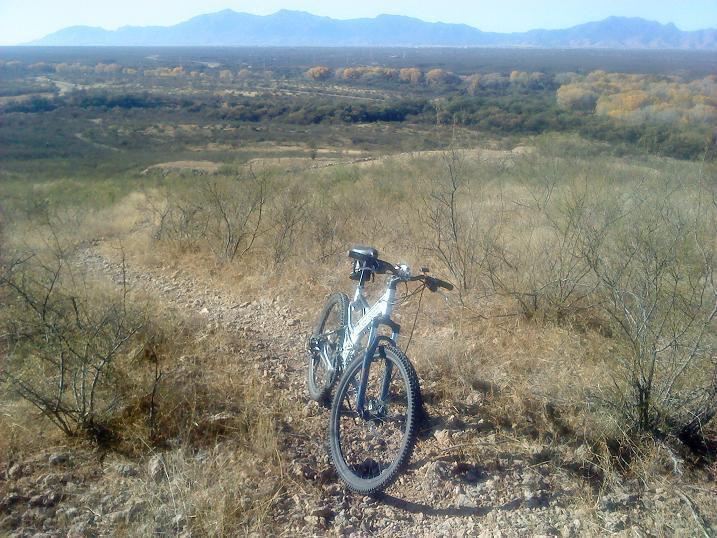
This is the hardest ride in the San Pedro Riparian trail system. From the parking lot take the only trail North. After a nice short easy single track ride you will find an information sign with a map. Then you will drop into a big wash. The last severe drop is a lot of fun! Cross this wash and follow the single track to the first junction. Turn right and follow the sign towards Milltown. Take the next junction to the right marked as the San Pedro Trail. The trail gets really rocky and climbs to circle the hill in front of you. After about two miles it will drop down into a minor wash heading North. This is the difficult part of the trail. For about one mile you will need to deal with a very sandy trail. After crossing a very large East-West sandy wash the trail North changes into very ride-able double track. It's about a mile and a half past the wash to the turnoff on the left for the short trail to the Boston mill ruins. Take a picture of the mill ruins to prove that you got there then turn around and ride back to the Charleston trail either the way you came or turn right (West) when you get back to the large East/West wash. This shortcut will take about a mile off the return trip and there are no elevation changes. Although riding the rail bed has its own challenges. About one quarter of a mile down the wash you'll come to the railroad bridge that crosses the wash. Get onto the rail bed at its North end and turn left. Follow the railroad bed South for about two miles. There will be constant hills on your left. Exit the bed to the left as soon as there are no more hills. This will be right where the Charleston trail dead ends at the major petroglyph discovery trail. Follow this trail to get to the junction you took before and then on back to the parking lot.

Loading reviews...View more