×

|
Rate it:
Tags:
Level: Intermediate
Length: 3 mi (4.8 km)
Surface: Singletrack
Configuration: Network
Elevation: +30/ -31 ft
Total: 3 riders
Mountain Biking Charleston Petroglyph Ride
#253 of 410 mountain bike trails in Arizona
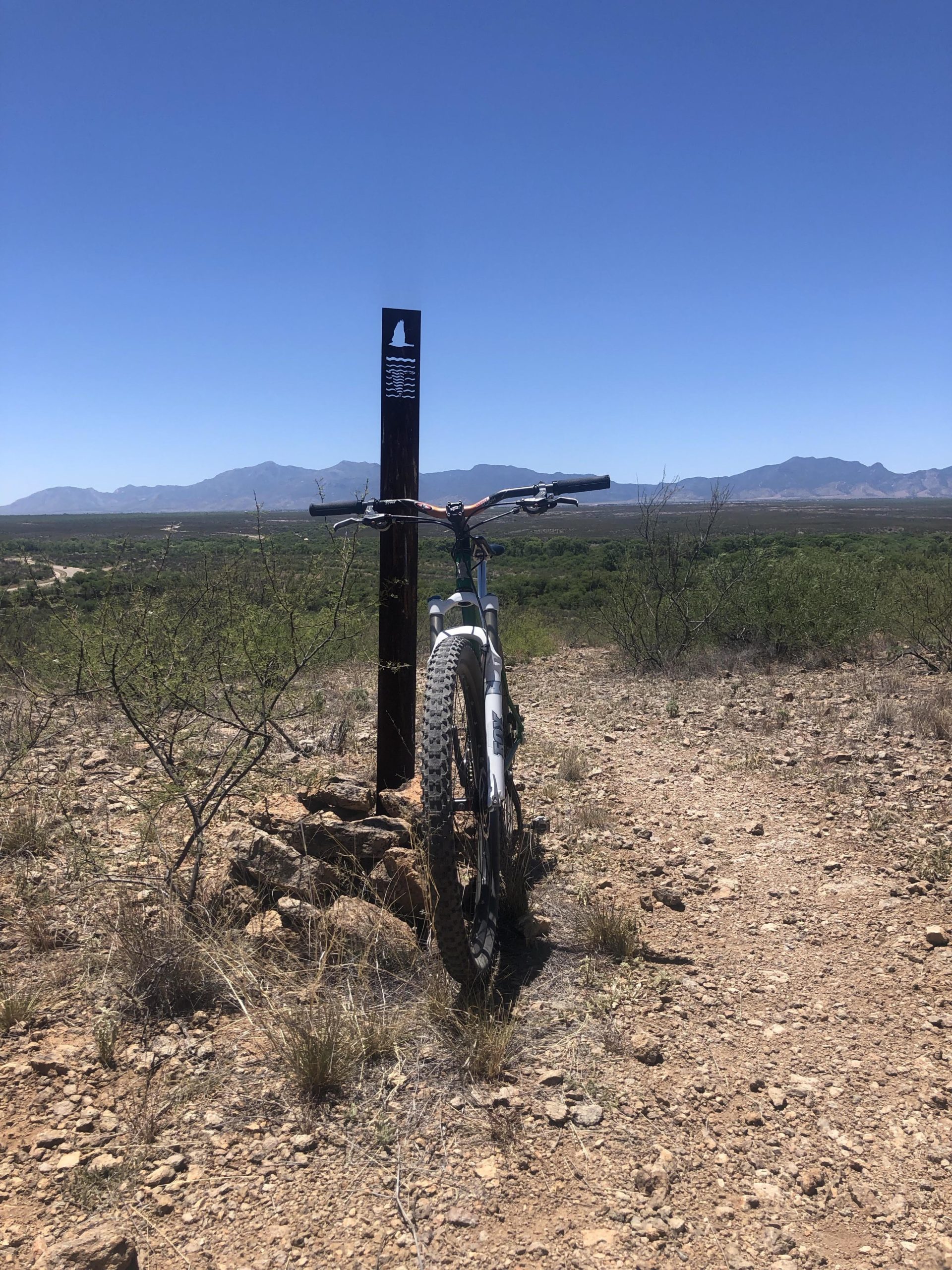
This is a fun intermediate ride. There are about 2 1/2 miles of single track
trails with some challenging rocky climbs. The configuration is basically a
lollipop with a few spurs. The location also has several interesting
archaelogical and historical features. There are several sites where you can
view petroglyphs left by many different native people. There are also ruins
of the towns of Charleston and Milltown. These were important during the
time of the silver mining in nearby Tombstone. Milltown was the Southern-
most of five stamp mills situated along the San Pedro river. This is also the
trail head for the trail to Boston Mill 4 miles to the North. I do not
recommend this trail for a mountain bike however. There is a 3/4 mile strech
of the "trail" that is very deep loose sand in a dry wash. This is not a ride
but an arduous push. Perhaps in the future a rideable trail will be
constructed along this stretch. Boston Mill is easier to reach from the North
from the Fairbank Ghoast Town trail head situated on Hwy 82.
First added by arizonaglider on Oct 30, 2011. Last updated Apr 28, 2020. → add an update
Before you go
- Drinking water: unknown
- Lift service: unknown
- Night riding: unknown
- Pump track: unknown
- Restrooms: unknown
- Fat bike grooming: unknown
- E-bikes allowed: unknown
- Fee required: unknown
This trail information is user-generated. Help improve this information by suggesting a correction.
From the junction of Hwy 90 and Hwy 92 in Sierra Vista go one block North
on Hwy 90 to Martin Luther King Jr Parkway and turn right (East) it will soon
turn into E Charleston Road. Proceed East for about 7 1/2 miles. The
entrance to the parking lot for the trail head is a short distance past the
San Pedro River on the left and is next to a "fire danger level" sign. From
the turn-off for the Clovis Site Murray Springs ride on Molson Road go North
for about 2 miles then turn right onto Charleston Road and go about 3
miles to reach the parking lot.


Loading reviews...View more