×

|
Rate it:
Tags:
Level: Advanced
Length: 2 mi (3.2 km)
Surface: Singletrack
Configuration: Loop
Elevation: -
Total: 3 riders
Mountain Biking Boundary Trail
#52 of 122 mountain bike trails in Maine
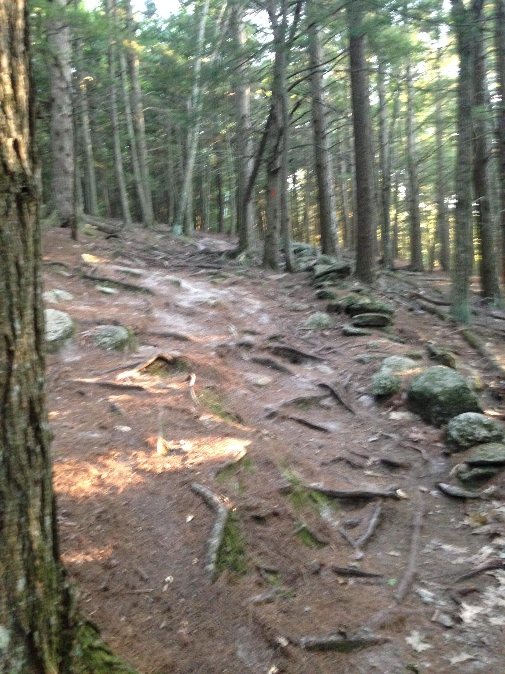
Steep, and technical trail that follows the boundary of the West side of the park. Very rocky and rooty, with some drops that are avoidable.
First added by afullsodacan on Aug 22, 2013. Last updated May 4, 2020. → add an update
Before you go
- Drinking water: unknown
- Lift service: unknown
- Night riding: unknown
- Pump track: unknown
- Restrooms: unknown
- Fat bike grooming: unknown
- E-bikes allowed: unknown
- Fee required: unknown
This trail information is user-generated. Help improve this information by suggesting a correction.
To find the trail head drive to Bradbury Mt. State Park entrance and look for signs. ( Rt. 95 north to freeport exit then noth on Rt. 9)


Loading reviews...View more