×

|
Rate it:
Tags:
Level: Easiest
Length: 25 mi (40.2 km)
Surface: 4x4 Trail
Configuration: Out & Back
Elevation: -
Total: 1 riders
Mountain Biking Blind Line
#239 of 312 mountain bike trails in Ontario
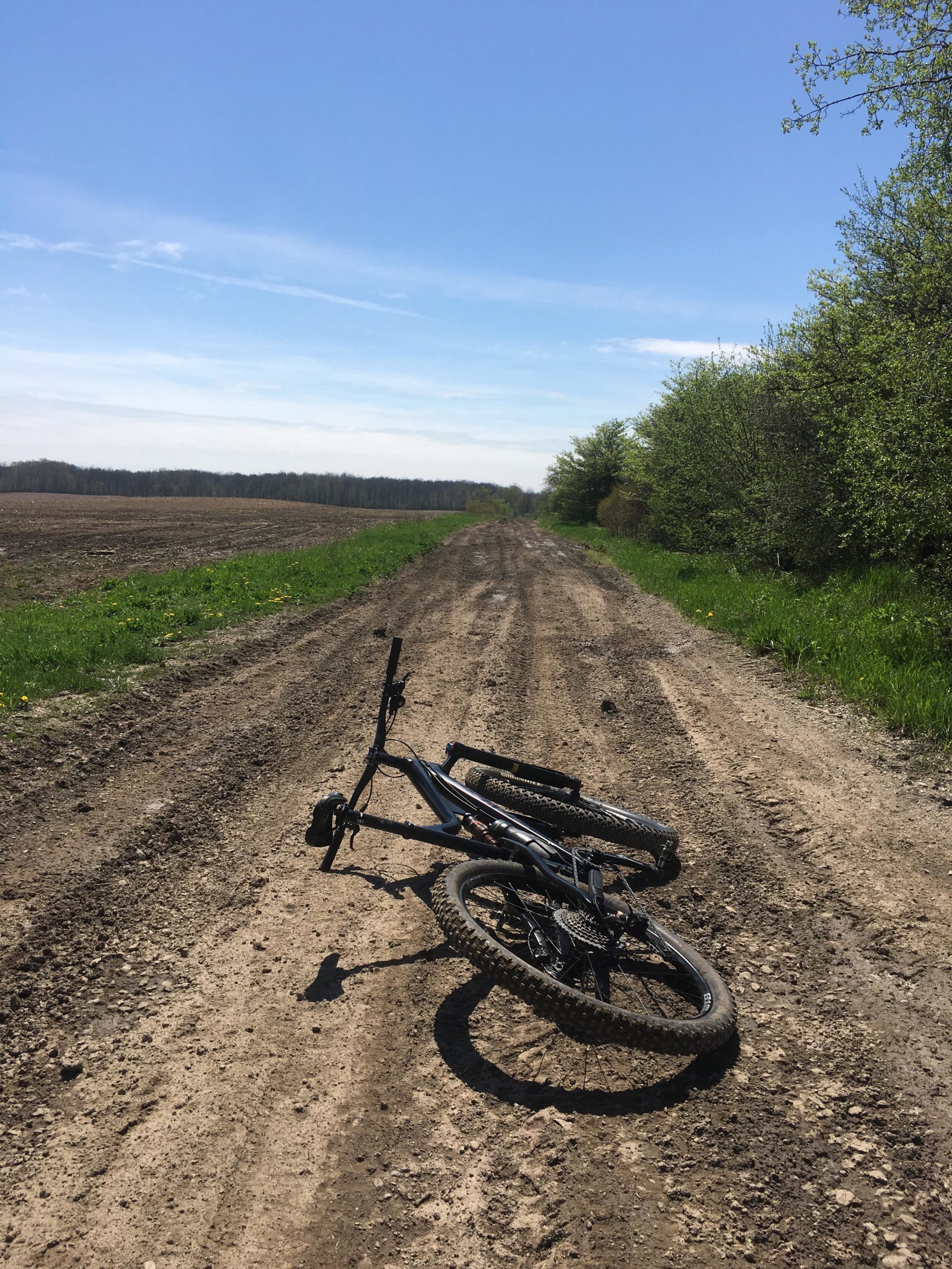
Out and back with many side offshoots, non maintenaned road for sections , appears to be an old railway bed or closed road for sections through bush and farm fields. runs parallel to a closed gravel rail road bed in an east west direction.Light gravel in areas but mostly dirt with many large diameter pot holes created by atv and 4x4 off road vehicles. We'll used trail
First added by Paul Loeffelholz on May 14, 2018. Last updated Apr 17, 2020. → add an update
Before you go
- Drinking water: unknown
- Lift service: unknown
- Night riding: unknown
- Pump track: unknown
- Restrooms: unknown
- Fat bike grooming: unknown
- E-bikes allowed: unknown
- Fee required: unknown
This trail information is user-generated. Help improve this information by suggesting a correction.
Payne's Mills village Blind Line road


Loading reviews...View more