×

|
Rate it:
Tags:
Level: Beginner
Length: 6 mi (9.7 km)
Surface: Fire Road
Configuration: Network
Elevation: -
Total: 2 riders
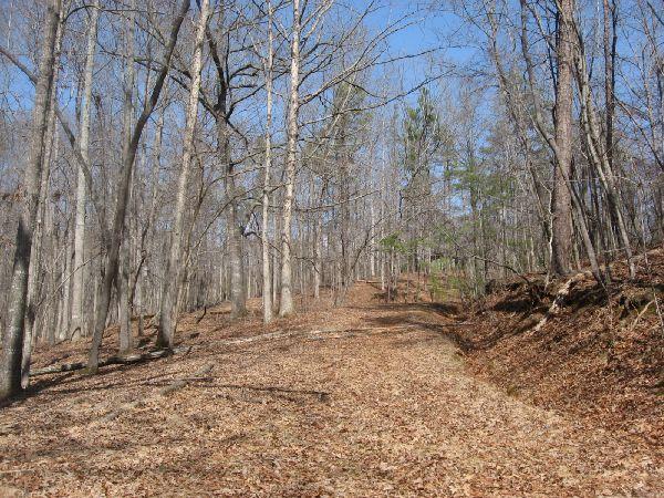
Mountain Biking Blackburn Gravel Roads
#328 of 405 mountain bike trails in Georgia
There is a series of interconnected gravel roads criss crossing old Blackburn
State Park. There are a few single and double track gems off of the side if
you keep your eyes open.
While this isn't really into the mountains yet, expect some short, really
steep climbs
First added by Greg Heil on Mar 19, 2011. Last updated Apr 28, 2020. → add an update
Before you go
- Drinking water: unknown
- Lift service: unknown
- Night riding: unknown
- Pump track: unknown
- Restrooms: unknown
- Fat bike grooming: unknown
- E-bikes allowed: unknown
- Fee required: unknown
This trail information is user-generated. Help improve this information by suggesting a correction.
From Dahlonega, head West out of town on Highway 52. At the bottom of the
big hill right after you cross the bridge, hang a left on Auraria Rd. and go
about 5.8 miles. You should see Blackburn Elementary on your left. Old
Blackburn Park is located back behind there.


Loading reviews...View more