×

|
Rate it:
Tags:
Level: Advanced
Length: 11 mi (17.7 km)
Surface: Singletrack
Configuration: Lariat
Elevation: +619/ -593 ft
Total: 2 riders
Mountain Biking Bell Mountain Canyon
#133 of 317 mountain bike trails in Idaho
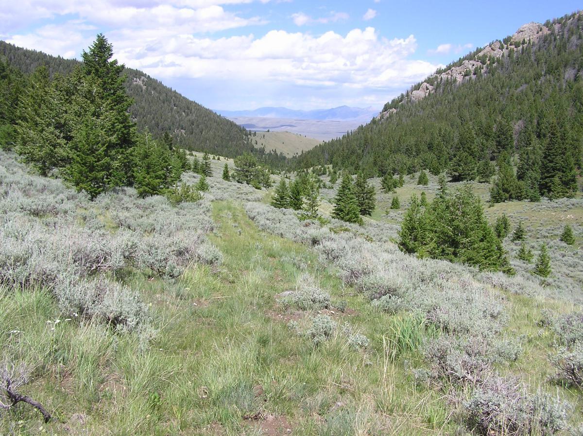
Ride the two track route 541 south until you hit the junction of route 708. Follow 708 on the double track up Bell Mountain Canyon past the motorized closure sign. The trail turns to singletrack at this point up to the turn around point at the 8,760 foot level. The quality of the trail diminishes the higher you get and requires more route finding skill. On the way back down you can take the lariat alternate route down on the unmarked trail. Take a copy of the GPS track with you for route finding assistance.
First added by sidehiller1 on Feb 25, 2013. Last updated May 11, 2020. → add an update
Before you go
- Drinking water: unknown
- Lift service: unknown
- Night riding: unknown
- Pump track: unknown
- Restrooms: unknown
- Fat bike grooming: unknown
- E-bikes allowed: unknown
- Fee required: unknown
This trail information is user-generated. Help improve this information by suggesting a correction.
Starting point is the junction of roads 188 and 541 approximately one half mile east of the historic Charcoal Kilns Site in the Birch Creek Valley south of Leadore, Idaho.


Loading reviews...View more