Bayfield river trail photo
See all photos (20)
×
User
Today
 
  |   Rate it:

Tags:
Level: Intermediate
Length: 22 mi (35.4 km)
Surface: Other
Configuration: Out & Back
Elevation: +250/ -296 ft
Total: 1 riders
 

Mountain Biking Bayfield river

*   Add a review
#242 of 312 mountain bike trails in Ontario
#17,164 in the world

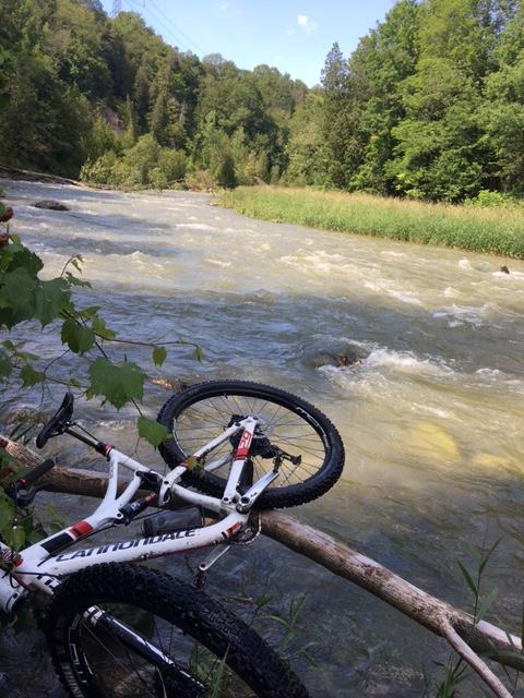
Mainly quad trails along rivers edge ,some single track . Rough backwoods , always wet with many junctions to figure out.

First added by Paul Loeffelholz on Jul 3, 2017. Last updated Apr 20, 2020. → add an update
Before you go
  • Drinking water: unknown
  • Lift service: unknown
  • Night riding: unknown
  • Pump track: unknown
  • Restrooms: unknown
  • Fat bike grooming: unknown
  • E-bikes allowed: unknown
  • Fee required: unknown
This trail information is user-generated. Help improve this information by suggesting a correction.
Getting there
Varna


Bayfield river Trail map

Add to or improve this map // Share this map on your website

Local Info

Club Sponsor

-

Local Bike Shop

-

Trail checkins

Upcoming Events

None.
Add one

Trail conditions

Good (on Aug 11, 2018)
login to update

Camping & Lodging

Coming soon!

Bayfield river videos

Add a video
We don't have any videos of this trail yet. Add one here.

Add a review

Rating
 
Difficulty
 
Review

Reviews

    Loading reviews...

Rider questions