×

|
Rate it:
Tags:
Level: Advanced
Length: 22 mi (35.4 km)
Surface: Singletrack
Configuration: Out & Back
Elevation: -
Total: 12 riders
Mountain Biking Baxter Bridge east to Fife Lake
#131 of 319 mountain bike trails in Michigan
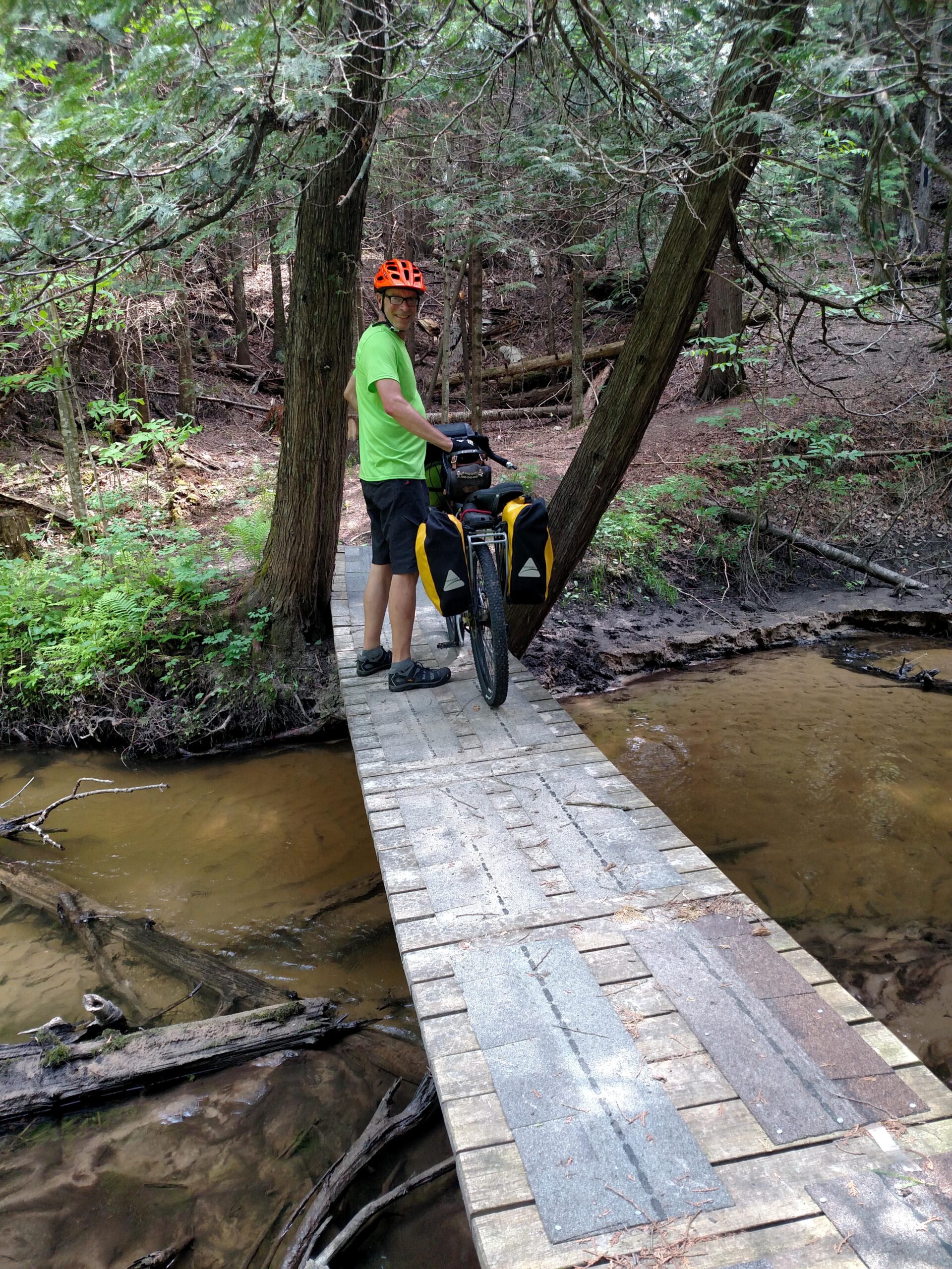
National Scenic hiking trail open to bikes. Narrow, lots of up and down ravines with bridges across creeks at the bottom then back up to the top as you follow the Manistee River. Some sections of hard to see grassy trail, some two tracks also. Just follow the blue blazes on the trees and roads.
First added by Rick Plite on Jun 6, 2016. Last updated Apr 22, 2020. → add an update
Before you go
- Drinking water: yes
- Lift service: unknown
- Night riding: yes
- Pump track: unknown
- Restrooms: yes
- Fat bike grooming: unknown
- E-bikes allowed: unknown
- Fee required: unknown
This trail information is user-generated. Help improve this information by suggesting a correction.
Start at Baxter Bridge State Forest Campground or boat launch and ride north on pavement following the blue blazes along the road. You will see a trailhead on the left right away but this ride goes to the top on the paved road then northeast on more pavement for about 3 miles. The singletrack will be to your right at the T in road.


Loading reviews...View more