×

|
Rate it:
Tags:
Level:
Length: 7 mi (11.3 km)
Surface: Other
Configuration: Out & Back
Elevation: +50/ -0 ft
Total: 1 riders
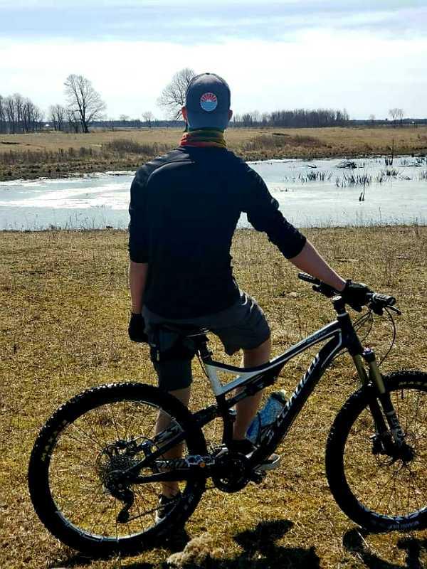
Mountain Biking Baie des Atocas Trail
#279 of 312 mountain bike trails in Ontario
Off road trails, hard on the cardio, and you need to have a cellphone or gps, lots of fences crossing. Some free picnic table to try some new tricks and have lunch. It's not for everyone, it's an hard, and long "trail", you get to choose your path. Be carfull of the coyotes if you go in the afternoon.
First added by Vince_Mongeon on Apr 8, 2020. Last updated May 5, 2020. → add an update
Before you go
- Drinking water: unknown
- Lift service: unknown
- Night riding: yes
- Pump track: unknown
- Restrooms: unknown
- Fat bike grooming: yes
- E-bikes allowed: yes
- Fee required: unknown
This trail information is user-generated. Help improve this information by suggesting a correction.
From the Baie des Atocas "parking", you go on the righ through the path between the gates. Continue straight through the path, and cross the two fences door to get into the actual park. Once in there, you can chose to go right or left around the lake, and it's a free for all.


Loading reviews...View more