×

|
Rate it:
Tags:
Level: Beginner
Length: 3 mi (4.8 km)
Surface: Singletrack
Configuration: Loop
Elevation: +0/ -10 ft
Total: 19 riders
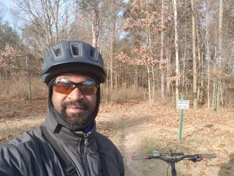
Mountain Biking Alma Mountain Bike Trail
#120 of 319 mountain bike trails in Michigan
The trail is made up of 6 sections totaling 3 Miles of gentle single track. Sections 1, 2 & 3 can each be its own loop. Sections 4, 5, & 6 must be ridden together.
Detailed trail information with pictures and a map: http://www.ci.alma.mi.us/1/307/mountain_bike_trail.asp
First added by pjrobar on Jul 7, 2013. Last updated May 6, 2020. → add an update
Before you go
- Drinking water: unknown
- Lift service: unknown
- Night riding: unknown
- Pump track: unknown
- Restrooms: unknown
- Fat bike grooming: unknown
- E-bikes allowed: unknown
- Fee required: unknown
This trail information is user-generated. Help improve this information by suggesting a correction.
Take US 127 (N/S) or M46 (E/W) to the center of Michigan. If heading south on US 127 take the Alma exit, and also if form either direction on M46, and go south on N Alger Rd (towards the city of Alma), which becomes Wright Ave. After passing through downtown Alma, Wright Ave (now named N Lincoln Ave) curves east (left) and becomes W Center St. Continue on W Center St for three (3) blocks and turn south (right) onto N State St. Cross the rail road tracks and the Pine River and turn west (right) onto Ely St. Ely St quickly becomes Riverside Dr. Continue on Riverside Dr to the Pine River Park.
From US 127 heading north, take the Alma exit and head west on E Lincoln Rd. Lincoln Rd becomes E Superior Street, continue on into downtown Alma. Turn south (left) onto N State St. Cross the rail road tracks and the Pine River and turn west (right) onto Ely St. Ely St quickly becomes Riverside Dr. Continue on Riverside Dr to the Pine River Park.
The trail is located in the Pine River Park & Outdoor Center. The entrance you want is not visible in the Google Maps map view, but is visible in the satellite view. It is a paved road on your right, located between the boat launch area and the cemetery. (If you get to W Marshall St on your left you've gone too far.) Drive/ride past the playground and continue on to the brick restroom building. There is plenty of parking in that area. Ride past the gate, the trailhead will be on the right. A sign will read "Bike Trail Section 1". (If the gate is closed, there is ample space to ride around it.)


Loading reviews...View more