


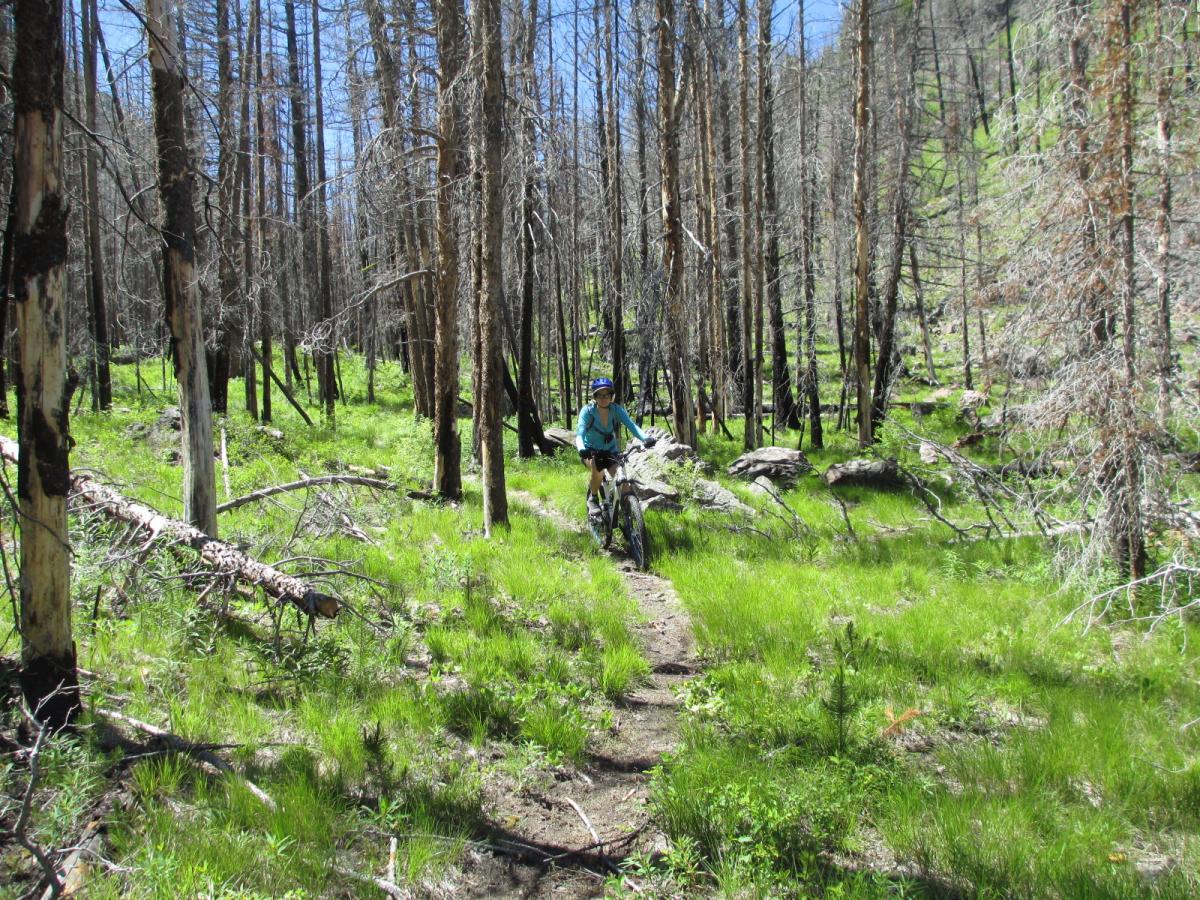
This is a classic central Idaho backcountry trail. The trail starts by riding up the Alder Creek Jeep Road approximately 2.5 miles to the start of the singletrack. The Alder Creek Road is a very rough jeep road so you will be better off by biking it than driving it. Once on the Singletrack trail which climbs steadily about two miles you come to the top of the divide between Morgan Creek and Camas Creek. There is a small lake on the west side of the divide along the trail. Proceed a short distance past the lake to trail junction which is about 4.25 miles from the Morgan Creek road. Turn left and head south along the divide approximately 2.8 miles to the Van Horn Creek Trail. Turn left onto the Van Horn Creek Trail which will take you back toward Morgan Creek Road. It is approximately 2.7 miles from this junction down the Van Horn Creek Trail down to the upper end of the Van Horn Creek Road. Proceed down the Van Horn Creek Road 3.6 miles to the Morgan Creek Road. Turn left up the Morgan Creek road and go approximately 3.5 miles back to your car at the Alder Creek Road Junction. This loop ride will consist of about 2.5 miles of jeep road, 7.3 miles of narrow singletrack, 3.6 miles of dirt road, and 3.5 miles of the graveled Morgan Creek Road. There are quite a few dead trees along the trail so expect blowdown trees across the trail at any time. Due to the high elevation at the upper end of this ride it is probably only suitable for riding in July-Sept of most years. It is suitable for intermediate or better riders. Some hike a bike will be required on steeper sections of trail. This trail is pretty remote and doesn't get much traffic so be prepared. The high point of the ride is at 9,120 feet and the low point is at 6,140 feet elevation. There are options to extend the ride on adjacent trails in the vicinity. The scenery is superb!

Loading reviews...View more