×

|
Rate it:
Tags:
Level: Beginner
Length: 26 mi (41.8 km)
Surface: Singletrack
Configuration: Loop
Elevation: +711/ -677 ft
Total: 7 riders
Mountain Biking Air line trail
#72 of 112 mountain bike trails in Connecticut
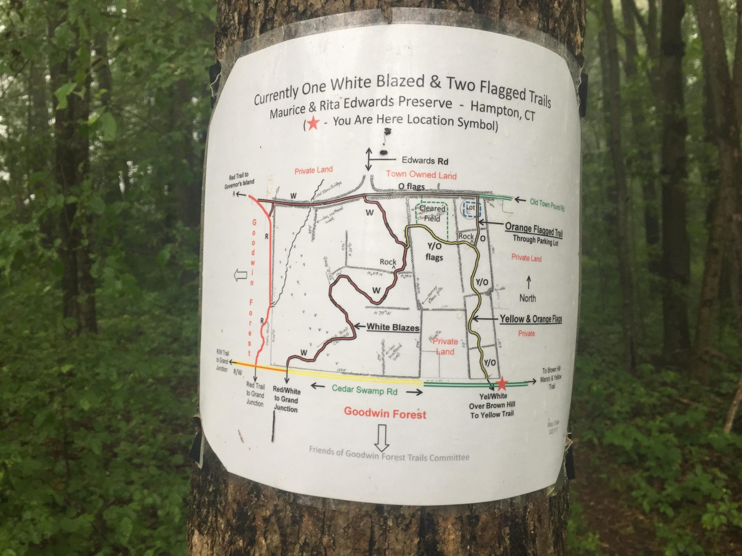
The air line trail is double track connecting the two parks. Goodwin seems to have flowy trails that lead to natchaug where there are more rocky and technical trails
First added by jayd2 on Jun 19, 2017. Last updated Apr 20, 2020. → add an update
Before you go
- Drinking water: unknown
- Lift service: unknown
- Night riding: unknown
- Pump track: unknown
- Restrooms: unknown
- Fat bike grooming: unknown
- E-bikes allowed: unknown
- Fee required: unknown
This trail information is user-generated. Help improve this information by suggesting a correction.
Turn on to potter road from rt. 6 and the lot is 300 feet up on the right.


Loading reviews...View more