Trails
Reviews
Tips
Community
Deals
Latest
Support
Trails
Find trails
Best bike trails
Destinations
Add a new trail
Reviews
Mountain bike reviews
Components
Tires
Clothing & shoes
Helmets
Accessories
Product news
Community
MTB Clubs
Races & Events
Bike Shops
Tips
Skills
Fitness & Training
Health & Nutrition
Beginners
Repair
Latest Articles
Podcast
Deals
Support Singletracks
Sign in
Create an account
About us
Newsletter signup
Maps
MTB Tips
How is Your Sense of Direction on the Trail? [Survey]
7
Mountain Bikes and Gear
Garmin Announces New Edge 530 and 830 Computers that Track Your Total Jumps, Loft Distance, and Hangtime Per Ride
2
GPS
Review: Wahoo Elemnt GPS Looks Basic, But Packs Killer MTB Features
10
Mountain Bike Podcast
Publishing a Mountain Bike Guidebook to Colorado [Podcast #158]
Culture
What's New: Strava's Global Heat Map
Mountain Bikes and Gear
How Strava Is Using GPS Map Data to Help Mountain Bikers
2
Mountain Bike Podcast
How Does GPS Work? [Podcast #79]
9
Mountain Bike Podcast
Do Electronics Belong on MTB Trail Rides? [Podcast #64]
1
Mountain Bikes and Gear
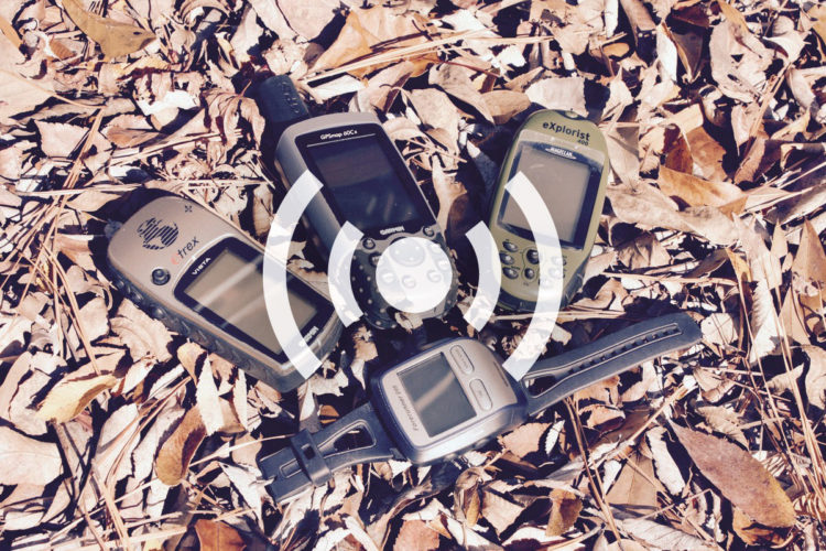
Garmin Adds New eTrex Units With Touchscreens
MTB Tips
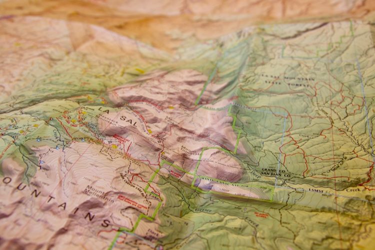
How To Interpret Topographic Maps
3
Mountain Bike Trails
New Sedona Trail Map Available in the Singletracks Online Store
2
Mountain Bike Trails
My Favorite Mountain Bike Trail Maps
4
Mountain Bike Trails
Why You Shouldn't Ditch Printed Topo Maps for Mountain Biking (Yet)
9
Mountain Bike Trails
Introducing the Singletracks Co-op: Earn Free Topo Map Access
5
Mountain Bikes and Gear
Using GPS to Navigate the Mountain Bike Trail
9
Mountain Bike Trails
How To Create Your Own Trail Guidebook Using Singletracks.com
8
Culture
Google Maps: Bike Directions and Singletrack?
1
Mountain Bikes and Gear
Enhanced Mountain Bike Trail Maps For GPS
Mountain Bike Trails
MTB Trail Map Updates
 7
7