Trails
Gear
Community
Tips
Deals
Latest
Support
Trails
Find trails
Best bike trails
Destinations
Trail news
Add a new trail
Gear
Mountain bike reviews
Components
Tires
Clothing & shoes
Helmets
Accessories
Repair
Product news
Community
Forums
MTB Clubs
Races & Events
Bike Shops
Tips
Skills
Fitness & Training
Health & Nutrition
Beginners
Repair
Latest Articles
Podcast
Deals
Support Singletracks
Sign in
Create an account
Merch
About us
Newsletter signup
garmin
product picks
16 Gadgets for Mountain Bikers, Including Gloworm Lites with Coupon Code
news
Track Your Hangtime and Adventures with new Garmin Edge 130 Plus and Edge 1030 Plus Cycling Computers
garmin
Garmin Forerunner 235 GPS Watch Offers a Simple and Effective Way to Save Your MTB Rides [Review]
news
Garmin Announces New Edge 530 and 830 Computers that Track Your Total Jumps, Loft Distance, and Hangtime Per Ride
podcast
We Round Up New, 2019 Bikes and Gear at Sea Otter Classic [Podcast #153]
Gear
Watch: Dji Spark Drone vs. Mountain Biking - Is it a game changer?
garmin
Garmin Announces New Top-of-the-Line Cycling GPS: The Edge 1030
Gear
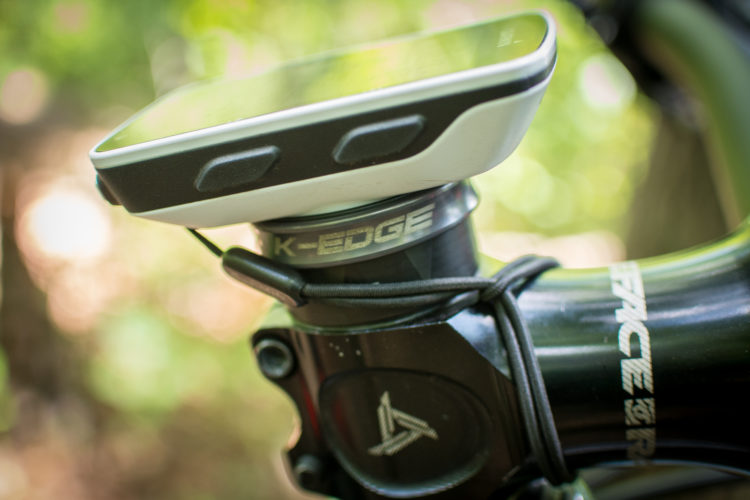
Review: K-Edge Garmin Mounts
news
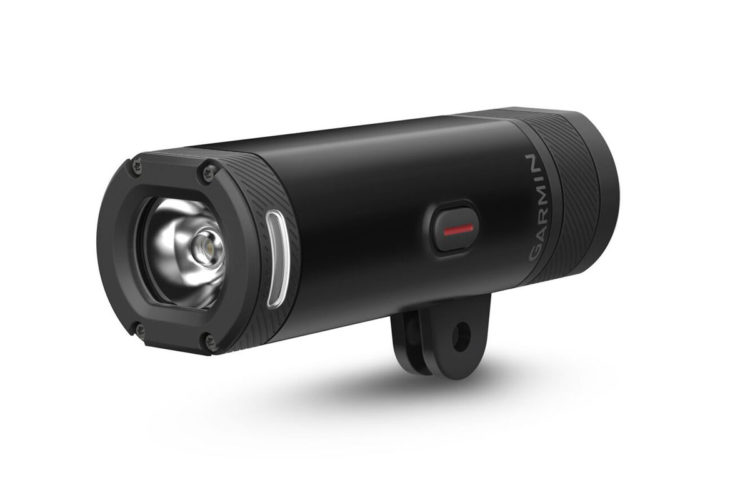
800 Lumen Bike Light From Garmin Gets Brighter When You Speed Up, Dims When You Slow Down
strava
GPS Accuracy Test: GPS vs. Smartphone vs. Cyclocomputer (Round 2)
Gear
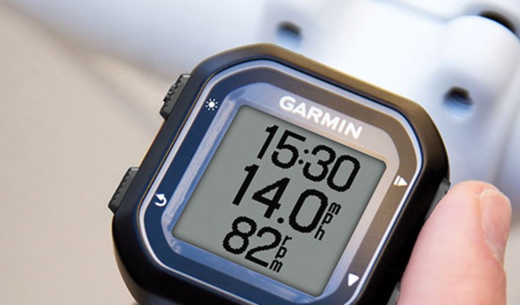
Garmin Edge 520 Review
podcast
How Does GPS Work? [Podcast #79]
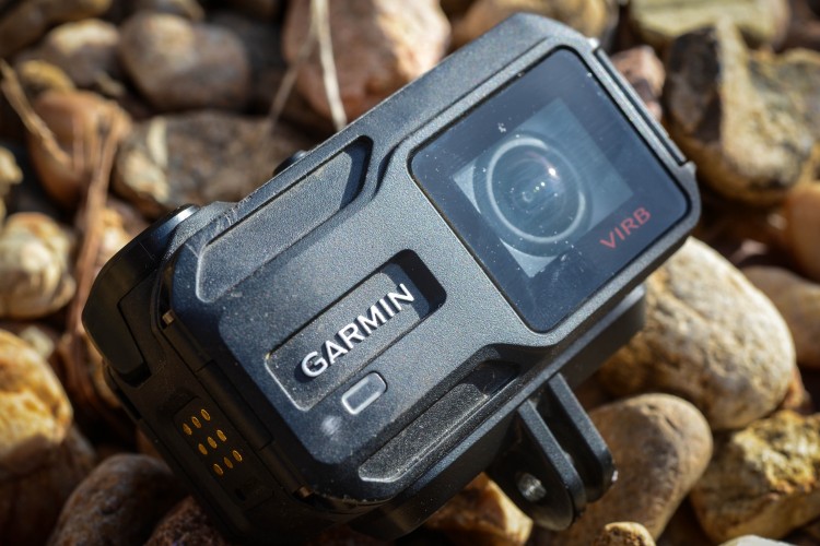
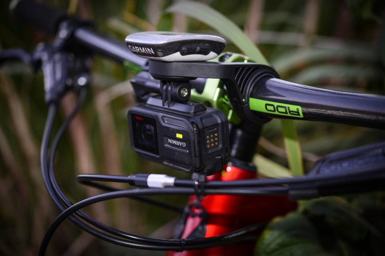
Garmin VIRB XE Action Camera Review
Garmin Combo Mount Review
Singletracks MTB News Podcast: Episode 2
Garmin Introduces World's Smallest GPS Bike Computers: Edge 20 and 25
Upgraded Garmin Montana 610 gets GLONASS capability. Thanks, Putin!
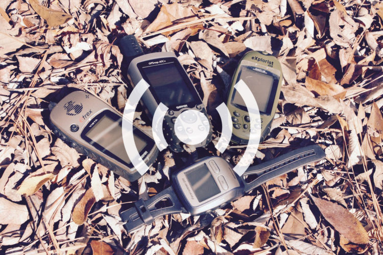
Garmin Adds New eTrex Units With Touchscreens
News: Garmin Announces New eTrex GPS Units
News: Garmin Introduces Virb X and Virb XE HD Action Cameras
Frostbike Roundup: Garmin Watch w/ Color Screen, WTB High Tail Saddle, and Non-Fat Bike Stuff
Review: Garmin VIRB Elite Helmet Camera
more articles