Over the past two weeks we’ve been rolling out updates to our Android and iOS apps and we’re stoked to share the new features!
Offline topo maps
This update applies to our paid apps but also to Singletracks subscribers who have purchased a membership on our website.
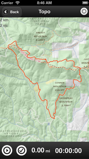
Navigate to a trail within the app, click the topo button, then the “save map” button at the bottom of the screen. This will save the map and track overlay to your phone so you can use the map to navigate when you’re outside of cell coverage. Of course, you still need to remember to download the map before you head out. 🙂
Saved topos are linked from the home screen within the app, and you can delete maps once you’re done to preserve precious memory on your device.
Nearby trails map
The nearby trails feature is easily our most popular, and we’ve added a map view in addition to the list of nearby trails. Click to reveal the map, then click a pin to get the name of the trail and the average rating. If you like the map, you can thank mtbgreg for really pushing for this feature.
Swipy photos
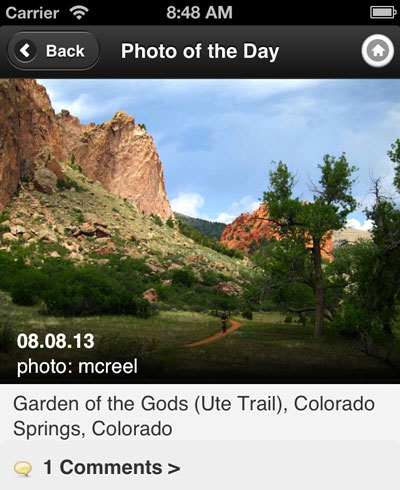
We’ve enlarged trail photos on trail pages, and you can even swipe to scroll through the pics. You can also swipe through POD photos, which are similarly enlarged.
Track your ride (beta)
The paid app (and free app for Singletracks subscribers) features a beta tracking function that allows you to plot, save, and share your ride. Rides are automatically synced with your ride log and, if you choose, are submitted as a recommended route to be integrated into our map database.
We haven’t been able to test this feature on really long rides, but the good thing is it seems to play nicely with other GPS tracking apps running at the same time. Look for improvements as we continue to test and refine ride tracking.
Trail statuses
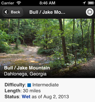
We’ve modified trail status report options to focus strictly on subjective statuses (wet, dusty, etc.) rather than open vs. closed. This is in response to clubs who were not happy with the “unofficial” trail statuses being reported by our members. So, if you want to know if a trail is officially open or closed, be sure to check with the local club first.
We’re really happy with these updates and can’t wait for the next round!


