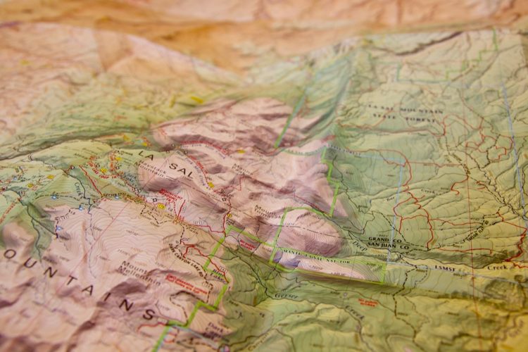
I’ve always been fascinated with maps, and over the years I’ve collected hundreds of mountain bike maps from the places I’ve ridden (and some from places I plan to ride someday). I recently went through my collection and decided to share some of the more interesting samples. Click any of the thumbnails to get a closer view.
Bike Park Maps
Left to right: Trestle Bike Park (Colorado), Keystone 1&2 (Colorado), and Northstar (California).
Most bike park maps utilize the tried-and-true ski resort map format. The maps are compact enough to fit in a front pocket and are often printed with the current year, which makes them nice souvenirs from the trip. Many of these maps utilize a satellite view of the terrain with trails and lifts overlaid on top. Some, like the Keystone map pictured above (from 2001), include an artist’s 3D rendering of the mountain. This Keystone map also includes a more traditional map overlaid on a USGS topo on the back side.
Club-Produced and Distributed Maps
Left to right: CAMBA trail overview map, Trails2000 Horse Gulch & Telegraph Trail map, and Gainesville SORBA’s Chicopee Woods map.
Many mountain bike clubs create and distribute their own trail maps, making each example pretty unique. Some clubs are able to tap members who are professional cartographers to create their maps while others rely on amateur volunteers… which can lead to creative results!
CAMBA in Wisconsin produces an extremely useful map pack that’s available at local bike shops. The Trails 2000 map above shows an interesting example of a map overlaid on satellite imagery. And the Gainesville SORBA map, which is freely distributed at the Chicopee Woods trailhead, includes a detachable membership form, which is a great marketing tactic.
Commercially-Produced Area Maps
Left to right: Laitude40, AdventureMaps.net, Sky Terrain, Trails Illustrated (1&2), and Ormes & Houdek’s Pikes Peak Atlas.
Despite the rise of digital mapping tools and smartphones, maps like the ones pictured above are selling at record levels. These maps are excellent for getting an overview of an area and for planning custom routes through backcountry terrain. Generally waterproof and tear resistant, these large-scale maps usually include tons of detail about points of interest, water sources, campsites, trail restrictions, and a whole lot more.
Full disclosure: Singletracks works with some of these map providers to sell commercially-printed maps in our online store.
BLM and US Forest Service
Left to right: BLM Porcupine Rim, BLM Slickrock, USFS Bent Creek, USFS Tsali, and USFS Tanasi.
Many federally-managed areas distribute their own free maps at trailheads and ranger stations. The first two BLM samples above are actually in brochure form and to be honest, they’re pretty underwhelming maps for such epic trail systems! The USFS Bent Creek map is one of the best I’ve seen and approaches the quality I’d expect to see from the commercially-produced maps in the previous section. I have no idea why the old Tsali maps were printed on such ugly yellow paper. But hey, at least the trails are in color to make it easier to read!
Hand-Drawn Maps
Left to right: Balm Boyette, Carvin’s Cove, Peninsula Trail, and USNWC.
Hand drawn maps come in many forms, and while all of the example above were produced using a computer or typewriter in part, there is still an element of imperfection to the work. The Balm Boyette map, created by trail Boss Garry Rosseter, is my new favorite–it’s printed in color on a handkerchief! I picked up the Carvin’s Cove map at a bike shop, and the green highlighter marks are from the shop employee who showed us where to ride. These maps are simple, to the point, and mainly serve to keep riders from getting lost.
Aerial Photo Overlays
In this day and age of Google Earth and satellite imagery on smartphones, it’s interesting to look back at maps produced using aerial photography. I picked up these maps many years ago and at the time, I was blown away by being able to get a true birds eye view of these complex trail systems.
Event Maps
Ocala Fat Tire Festival route map.
As far as souvenir maps go, it doesn’t get any better than an event map. This map is from the 2008 Fat Tire Festival at Santos in Florida and shows the 40 mile “Epic” route we rode that day. The small tears, fold marks, and sweat make this map all the more special.
Printed mountain bike trail maps give us a snapshot in time of trails and trail systems that are constantly changing, and also serve as reminders of the places we’ve ridden and the people we’ve met along the way. Which mountain bike trail maps are in your collection?


