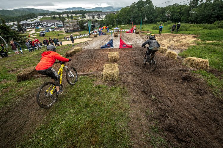
Every mountain biker loves the thrill of a long descent. Picking up speed, hitting a bump that lifts the bike off the ground, and feeling the effortless pull of gravity down the trail is second to none.
When thinking about the best descents, most mountain bikers can list off a number of must-rides in the western USA. But what about the east coast? It turns out the eastern USA offers plenty of equally rewarding descents. The unique terrain here means descents tend to be shorter, and more interrupted by roots, rocks, and often wet ground, which adds to the challenge and excitement. Here are 10 of the best MTB descents in the eastern USA.
Bear Creek, Georgia
With its beautiful scenery, a mix of singletrack and doubletrack, creek crossings, whoop-te-doos, and switchbacks, the Bear Creek trail is an ideal north Georgia mountain biking experience. Located in the Chattahoochee National Forest, riders will find several trailheads and approaches to ride Bear Creek. The classic up and back, though only 10 miles total, will feel like a complete day of riding.

From the Bear Creek trailhead outside Ellijay, riders will begin climbing right away. The first mile is steep, and most riders will find themselves taking breaks. After the first mile, the climb becomes much more manageable. While climbing, keep an eye out for the massive Gennett Poplar tree, one of the largest trees in Georgia.
Before heading down, stop to take in the view. You earned it! Upper Bear Creek begins with a few tight and tricky switchbacks, quickly becomes smooth and fast, and finally transitions to more technical toward the bottom. Along the way, riders will encounter plenty of opportunities to get some air and the wide trails encourage fast speeds. Remember to keep an eye out for riders slowly making their way uphill.

Many riders combine the Bear Creek descent with the Pinhoti Trail, sections 1 and 2. To do this loop, park at Mulberry Gap and head up Old CCC Camp road to the top of Bear Creek. Descend the Bear Creek Trail, then hang a right on Pinhoti 1 near the bottom of the Bear Creek trail. Then take Pinhoti 2 back to Mulberry Gap.
Other notable descents in the area include Pinhoti 3, Stanley Gap, and Mountaintown Creek.
Bomb Dog Trail, Alabama
Named for Floyd, a local bomb sniffing dog, Bomb Dog is a rocky, 10-mile loop on Coldwater Mountain with loads of jumps and bermed turns. The three mile descent includes black diamond options and plenty of chances to catch some air. Loose rock is perhaps the only thing that will keep riders from reaching high speed. The 1,200 feet of climbing to the top of Bomb Dog is fairly gradual, and is broken up between the beginning and end of the loop.

The well-marked loop is ridden clockwise and starts at the Coldwater trailhead. The ride starts with the Mama and Papa Bear trails before hitting the Bomb Dog trail itself. On the descent, riders will enjoy a good deal of fast, flowing trail over clay soil, with rocky sections mixed in. Advanced, creative riders can find many unique lines through trail features along the way.

The trails at Coldwater tend to stay dry in this system with few wet spots. The Coldwater trail system is growing, and includes trails rated from beginner to advanced. For a truly black-diamond descent, take Gazza which roughly parallels Bomb Dog before joining the trail down below. For a truly sustained, flowy, and fast descent, take the Talledega, Trillium, and Hare trails down to the Anniston trailhead for a total of 3 miles fast, swoopy of descending.
Bull Mountain, Georgia
For a big ride with some long descents, the Bull and Jake Mountain area in north Georgia is a great choice. This IMBA Epic loop offers beautiful mountain views and a true backwoods feeling. The Jake Mountain side of the loop includes fast, flowing trails, while the Bull Mountain side is steeper and more technical. Be sure to bring a map to avoid taking a wrong turn, and keep an eye out for horses on the trails.

The 30-mile “Dirty Thirty” loop starts at the Bull Mountain trailhead. Riding counter clockwise is recommended to enjoy the biggest descent at the end of the ride. Start at the Bull Mountain connector and ride toward the Jake Mountain trail. Jake Mountain trail continues for 5 miles and involves crossing Jones Creek. Continue on to the Black Branch trail. Parts of this 3-mile trail are rocky. Next, climb 2 miles on No Tell, followed by a descent down Nimblewill Branch.

At the bottom of Nimblewill, turn right on the road and climb gradually. Keep a lookout for Bare Hare trail, where the climb continues. (Some may need to push here.) Finally, start cruising down off the top of Bull Mountain. Relax and enjoy finishing the ride with nearly 5 miles of descending. Most of the trail is open and fast, with a few twisty, technical sections and some small creek crossings.
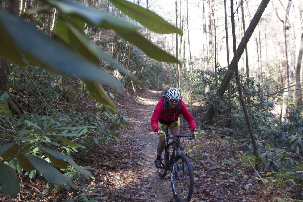
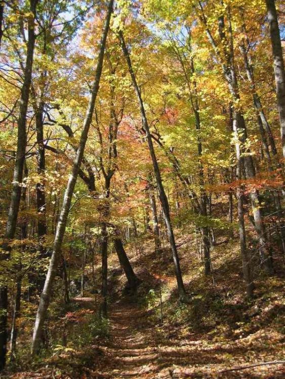
Farlow Gap/Daniel Ridge, North Carolina

Farlow Gap offers a very technical 3-mile descent in Pisgah National Forest. The decent continues down Daniel Ridge with even more rocks and roots, showcasing plenty of what Pisgah has to offer mountain bikers.

From the top of the Farlow Gap trailhead, riders will immediately begin descending this strenuous trail. Known as one of the toughest trails in Pisgah, Farlow Gap has abundant roots, rocks, and switchbacks. Many riders choose to hike-a-bike some of the rock gardens.
After descending 2,000 feet, the Daniel Ridge trail begins. Make sure your brakes are working well! You can go either right or left on Daniel Ridge. To maximize the downhill, stay right and enjoy two more miles of descending over rocks and roots and a stream below.

At the end of Daniel Ridge, there are opportunities to view waterfalls. Note that riding up Farlow Gap is extremely difficult and not recommended, so most mountain bikers ride up Pilot Mountain road from the Davidson River trailhead .

Greens’ Lick/Ingles Field Gap, North Carolina
Clearly Pisgah National Forest is home to some of the best descents in the east. To experience the less technical side of what Pisgah has to offer, try this 13-mile loop that in Bent Creek that includes Green’s Lick trail and Ingles Gap trail. Riders will get a workout on the 6-mile climb, and will be rewarded with a total of saven miles of descending. The trails are not overly technical, allowing riders to descend quickly. Keep in mind, these trails are bidirectional and multi-use.

The loop starts at the Wesley Branch trailhead parking lot. Begin the loop on Deer Lake Lodge trail, and continue to Wolf Branch. Wolf Branch is where the climbing begins. Next comes Ingles Field Gap, which climbs steeply over moderately technical terrain. Next is the rocky Northern Boundary trail, which leads to the highest elevation point of the ride.

Finally, begin the descent on Green’s Lick. On this 2-mile trail, riders will encounter jump after jump, and a few rocks as well to really get the adrenaline pumping. When Green’s Lick ends, take Sidehill, followed by Little Hickory Top, both of which have a little climbing. Next is the descent on Ingles Field Gap, which is the most technical trail on the ride, and is peppered with rocks and roots. From here take Wolf Branch, which has a mix of short climbs and smooth, fast descents. Finish the loop on the Hard Times Connector. Enjoy the fast, smooth downhill back to the parking area.
Live Wire 1 & 2, Tennessee
Live Wire 1 & 2 are part of the Raccoon Mountain trail system. Together these trails total 4.7 miles and boast over 800 feet of descending. The Live Wires are fast and flowing with occasional rock gardens to keep riders on their toes. While the trails are bidirectional, it is recommended to ride counterclockwise to optimize the downhill. Bringing a map is also recommended.

There is parking located in a number of places, including where Live Wire 1 & 2 intersect. This is the recommended starting point. Begin counterclockwise down the length of Live Wire 2. This trail is rated as an advanced trail due to all the rocks and roots. However, these will not slow down the descent for the most part.
At the bottom of the 750-foot descent, make a loop with High Voltage, Split Rock, Laurel Point, Electric Ave, and East rim to the top of Live Wire 1. This trail is rated as intermediate. The ride finishes with a fun descent featuring switchbacks and bridges. The descent is fast and steep in places, allowing for a blistering pace.
Moose Alley, Burke, Vermont
The 110 miles of Kingdom Trails are a paradise for any mountain biker. For those who enjoy long descents, Moose Alley should be on your route when exploring Kingdom Trails. Moose Alley is the shortest trail on our list at only 1.8 miles, but it can be combined with nearby trails that offer some fun downhills.
Parking at Moose Alley is not available, but there are numerous routes to take to include this trail. While purchasing a pass at the Welcome Center, be sure to pick up a free trail map. Start out on White School, off of East Darling Hill Road. This 3.1 mile singletrack is a gradual climb with beautiful scenery along the Passumpsic River. White School Trail ends on White School road. Turn right, and cross Route 114 to the start of Moose Alley.
The climb up Moose Alley is a workout, but very rideable, with plenty of short breaks in the climbing. After reaching the top, enjoy the view of the surrounding mountains from Magill fields. On the descent, enjoy fun features including drops, some bermed turns, and lots of roots. This rugged and remote trail has a true New England feel.
If you’re up for more descending, on your way back pass by White School trailhead, and continue to Good ‘n You on the left. Ride this loop counter clockwise for the best descending. From here enjoy a quick descent down Farm Junk with tight turns, rocks, and roots. Farm Junk returns to White School. Relax and take in the scenery on the easy ride back to town.
Oak Knoll, Carrabassett Valley, Maine
In recent years, the trail system in Carrabassett Valley has grown to nearly 100 miles of trails for mountain bikers to enjoy. There are a number of descents worth checking out, which include everything from fast and flowing with bermed switchbacks to technical, black-diamond descents. The 2.8 mile Oak Knoll trail, with a 700-foot elevation change, tops the list.

Trails maps are available at the Sugarloaf Outdoor Center in Carrabassett Valley. To access Oak Knoll, park at Campbell Field Parking area, across the road from the Outdoor Center. Ride across the bridge to the Narrow Gauge trail, and immediately turn left onto Mile’s Mile. This trail along the Carrabassett River serves as a pleasant warm up. At the end, turn left on Narrow Gauge again. A short distance ahead there is a doubletrack to the left with signage for Maine Huts and Trails. Turn here.
Keep a lookout for the entrance to Oak Knoll on the left. For those who prefer to make a loop rather than up and down Oak Knoll, continue straight past the start of Oak Knoll. This route goes up the smooth, bermed switchbacks of Newtons Revenge, and leads directly to Oak Knoll.

Descending Oak Knoll, riders will pick on speed on the smooth switchbacks with stunning views of Sugarloaf Mountain, the Bigelows, and other surrounding peaks. Sections of stony trail and small drops will keep riders on their toes. Be sure to watch for uphill riders and hikers. The descent crosses a gravel service road twice, and during the fall foliage season, the scenery from the trail is breathtaking.
Ridgeline, North Carolina

For a 6-mile loop with super fast, smooth flowy descents, check out Ridgeline in Dupont State Forest. Perfect for all levels of riders, this well-maintained trail with high berms allows riders to reach higher speeds than most trails in the east. Be aware, however, that this loop is bidirectional and multi-use. Horses are very common in this area, even on the Ridgeline descent. Keep a long enough line of sight to allow time to move over.

Park at the Lake Imaging parking area and start the rocky ascent on the Jim Branch trail. Then it’s on to the Isaac Heath trail for a break from the climbing with a short, flowy descent. From here take Buck Forest Road to Thomas Cemetery road, both of which are a gradual climb. Thomas Cemetery Road turns into White Pine trail, which leads to Hooker Creek trail. Hooker Creek starts with a fast descent, before a short climb to Ridgeline.

The 1.5 mile descent down Ridgeline is one of the smoothest and fastest trails in the east. Enjoy the bermed corners, occasional jumps, and uninterrupted downhill. Let it rip, and remember why you are hooked on mountain biking. Since this loop is only 6 miles long, many riders will want to complete it at least twice!
Timber Ridge, Virginia
At eight miles in length, the Timber Ridge trail boasts nearly 3,000 feet of descending. The trail can be technical and very steep in places. Timber Ridge starts at Reddish Knob, a well-known peak near the Virginia/West Virginia state line. Since Reddish Knob can be accessed by car, it is possible to shuttle this ride. Otherwise, bike the long, steep climb on the paved road to Reddish Knob. The road is very narrow, so use caution. Enjoy the scenery before starting the descent.

For riders who are not shuttling, park at the end of Timber Ridge trail on Tillman road. Choose to ride Timber Ridge up, or climb the adjacent Wolf Ridge trail. Both are very steep and sometimes technical. Unfortunately, there is no easy way up. Just remember, the views and the long descent will make the climb worthwhile.

From the Reddish Knob parking area, the Timber Ridge trail starts with a steep, rocky descent. Less experienced mountain bikers may not be comfortable riding very early portions of this trail. Don’t be discouraged if you need to hike-a-bike. Until the last two miles, the trail is narrow and rocky, but very rideable after the initial rock gardens. The final two miles of singletrack are fun and flowy, and include some jumps. This ride, while very rewarding, is not appropriate for novice riders. Be prepared with necessary supplies for this challenging descent.
Your turn: What is your favorite East Coast mountain bike descent?