


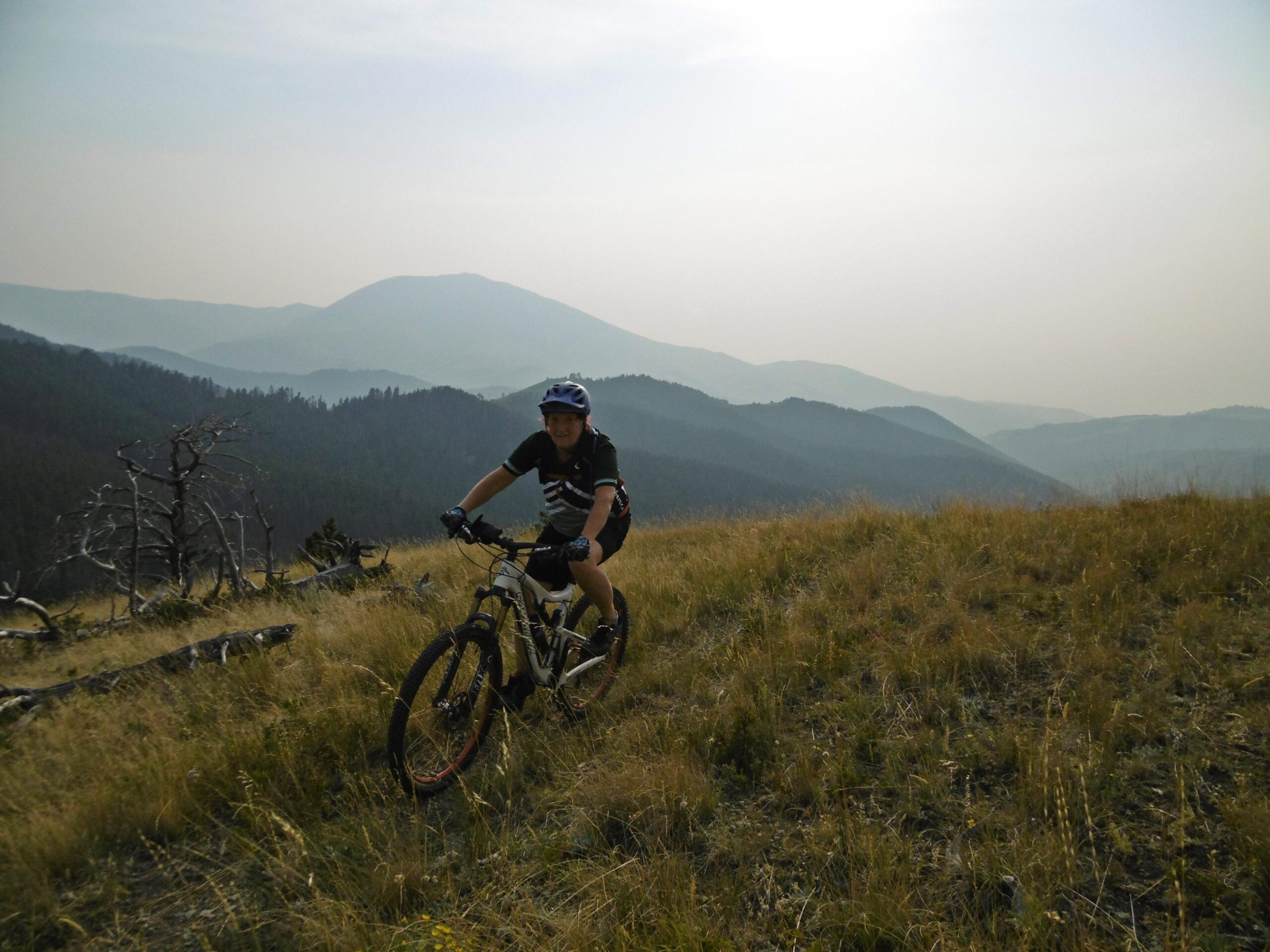
The first three miles climb at a moderate grade with many stream crossings--you will get wet--some like to save this ride for later in the summer when the water is lower. After three miles, the grade steepens--now you're really working. The trail will veer right (south). At this point, look left and back up the hill for the Kirby Creek Trail. Follow it 0.2 miles and turn left (uphill) on the Marie Spring Trail. The grade will be tough, then drop quickly to a saddle, and then climb steeply again up the other side. Now, you're getting your first reward as you get panoramic views of the Highwoods Mountains and glimpses of the endless prairie beyond. At 4.7 mi. you'll pass by the White Wolf Trail on your left--keep going straight. At 5.7 mi. you'll pass by the Briggs Creek Trail on your left. This can provide a quick way back if you're tired. Although you've passed your maximum altitude for the ride, there are still countless short but steep climbs remaining that will require lots of energy. If you're up to it, continue straight on the Windy Mountain trail for your next big climb. After the climb, get ready for a great roller coaster section in dark woods--very cool. There are many blind curves--one is followed by a sharp, technical drop into a small gully--an endo waiting to happen if you're not ready--great fun if you've got the reflexes for it. Press on through what seems like way to many climbs as you traverse the south flank of Windy Mountain. There will be a dry, dusty, south facing drop from Windy Mountain to the head of Thain Creek--then the real fun begins. Once in the woods again, there is absolutely screaming downhill--hang on for a very fast, fun ride. Shortly after the downhill abates, you'll come to a gate. Go through the gate to a road and follow the road to the right until it hits the road you'll tale left, back to your car. This ride seems much tougher and longer than the distance or elevation profile would indicate.

Loading reviews...View more