×

|
Rate it:
Tags:
Level: Intermediate
Length: 8 mi (12.9 km)
Surface: Singletrack
Configuration: Network
Elevation: -
Total: 3 riders
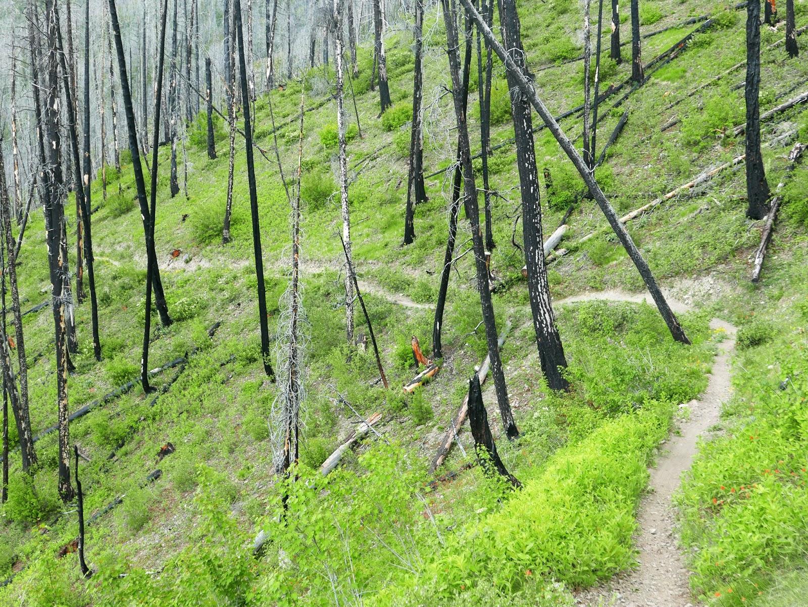
Mountain Biking WarM Springs Trail
#66 of 317 mountain bike trails in Idaho
This eight-mile, uphill/downhill hiking and biking trail has it all. It winds through the open meadows to Monarch Ridge, where a 100-yard hike brings you a panoramic view of the entire Bassett Gulch drainage.
From there, it's all downhill as
you cruise through the woods to the base of Warm Springs.
First added by justin70 on Jun 29, 2014. Last updated Apr 28, 2020. → add an update
Before you go
- Drinking water: yes
- Lift service: yes
- Night riding: unknown
- Pump track: unknown
- Restrooms: yes
- Fat bike grooming: unknown
- E-bikes allowed: unknown
- Fee required: unknown
This trail information is user-generated. Help improve this information by suggesting a correction.
Part of Bald Mountain


Loading reviews...View more