×

|
Rate it:
Tags:
Level:
Length: 3 mi (4.8 km)
Surface: Singletrack
Configuration: Network
Elevation: +173/ -172 ft
Total: 5 riders
Mountain Biking Tryon Mountain
#79 of 122 mountain bike trails in Maine
Trails on the east side of Lawrence road are either a snow mobile trail width but not too smooth (just a nice balance) or a very windy but smooth single track that seriously tackles the hill.
First added by on Sep 7, 2014. Last updated May 2, 2020. → add an update
Before you go
- E-bikes allowed: unknown
- Fee required: unknown
- Drinking water: unknown
- Lift service: unknown
- Night riding: unknown
- Pump track: unknown
- Restrooms: unknown
- Fat bike grooming: unknown
- E-bikes allowed: unknown
- Fee required: unknown
This trail information is user-generated. Help improve this information by suggesting a correction.
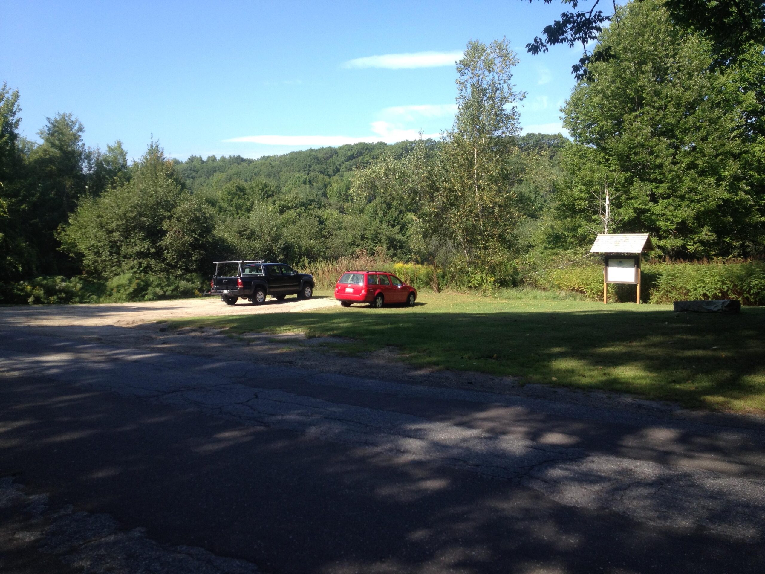
The easiest route is to park at Bradbury State park, then ride counterclockwise around the boundary trail until you see the turn off to your right just before the impossible climb (you'll know what that means when you get there). Alternatively go out Rt 9 toward Bradbury, then turn left on Elmwood shortly before Bradbury and then R on Lawrence Road. Park at the trail head which is hard to miss.


Loading reviews...View more