singletracks is mountain biking
Sign In | Create Your Account | Site Map | Help  


Trail Of The 4 Winds Mountain Bike Trail

Kaiser, Missouri

MTB TRAIL STATS

Avg Rating: 3 trail reviews
Status: Needs Maintenance
updated 5/21/12 by heckmanlloyd
Difficulty: Intermediate bike trail Intermediate
Length: 12 miles Global Rank: #1284
Tread: Singletrack Configuration: Loop
Ridden: 7 Wishlist: 4
Elevation Gain/Loss:
+3,034/-3,118 ft
 
Directions
To view directions to Trail Of The 4 Winds mountain bike trail, please login. If you don't have an account, sign up for a free account - it only takes a minute.

Description: 
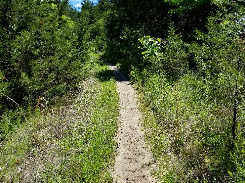
From the trailhead ride approximately 1 mile where you can go either left or right. I recommend going right and riding the trail clockwise. Going left will give you a lot of technical uphill portions with roots and rocks. This trail is also open to horses and they do use it a lot, which is evident by the churned up trail in spots and adds to the technical aspect of the ride. There are numerous connector trails to bail out on or add to the distance of the ride. Warning! Lots of ticks during the summer and make sure you have spare tubes or patch kit and pump.
added on June 3, 2009 by mtnspectre
Map   Videos   Photos   Bike Shops  

TRAIL REVIEWS   review this trail


reviewed by heckmanlloyd on May 21, 2012

This trail needs maintenance. It is shared with equestrian traffic. They have rutted most of the creek crossings. The trails have been routed straight up and down hills. So between the horses and improper drainage, erosion has taken its toll on what could be a fantastic trail. I would not recommend this trail to anyone until they fix it. There was a washout so deep, you could drop my 29er into it, and not see it.

Similar Trail: nothing is this bad


reviewed by drewjensen on June 9, 2011

This was my first single track ride ever. It is very scenic and challenging. At 12 miles, it is a great workout. A lot of rocks, so drains well. Highly recommend if in the area. Stop in Oz Cycles as well. Great shop and lots of info on area trails.

Similar Trail: Honey Run


reviewed by mtnspectre on June 3, 2009

Ridden counter clockwise is a killer. Lots of technical uphills with rocks, roots and mud. The downhills are fun. Looking at my elevation from my garmin, riding it clockwise would be a lot easier (ups aren't as steep). There is a right turn about 200 meters from the trailhead that would allow for a clockwise ride and avoid a tick infested area. Downfall? Horse traffic, which means horse p***.

Similar Trail: Honey Run or Bittersweet

MTB Trail Dashboard

Tags (comma separated)

cancel

Widget Code
copy and paste this code onto your website.
Horizontal Vertical Trail Name


Site Map | Advertise | Partners | Contact Us | Terms | Privacy
Campground Reviews | Hiking Trails | Trail Running | Skiing / Snow Sports | Mountain Biking
Copyright 2012 Blue Spruce Ventures LLC | Atlanta, GA
singletracks.com is yet another slick Review App
 
time: 0.014357805252075 seconds