Its hard to classify this trail. The first 2 miles are level "Ditch Road", then ~ 1 mile of loose dbl track, then 3 miles of ST that takes you to the boundary of RMNP where MTB's are not allowed.
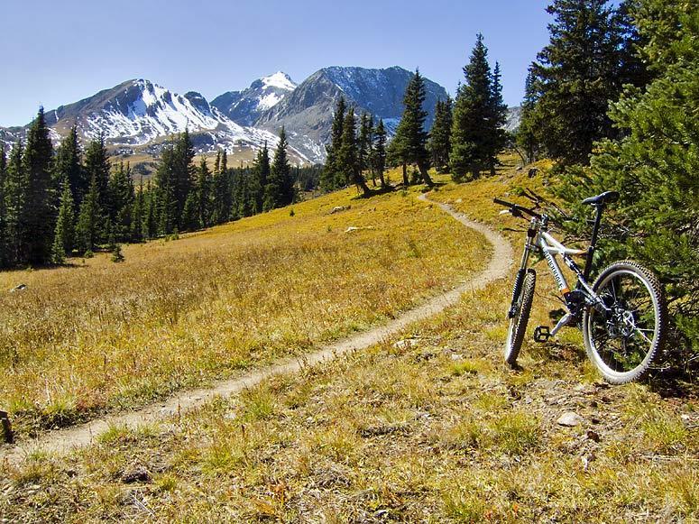
But its one of the most accessible trails on the Front Range that takes you well above timberline in world class scenery.
Cross the road from the TH, pay the fee, then rip down the level ditch road for 2 miles with incredible views. At the American Lakes TH side take a left and start riding up and old 4 WD road that can best be described as 'Babyheads on Ball Bearings" for about 1 mi. Cross a bridge and the goods start. Perfect ST if not for the 10,600' + altitude and many switchbacks for the next mile until you break above timberline. You're now riding in pristine Tundra for 2 more miles up to the border of RMNP at Thunder Pass.
This is a heavily used hiker/backpacker trail in a sensitive area !!! If you choose to ride it ,try to do it on a week day.


Lovely trail and meadows but as we got high still a lot of snow on the trail June 16th. Can't wait to try it with no snow and get to the top
| ThankAwesome trail with spectacular scenery! Relatively short ride (~6mi up) with the last mile or so above tree line. Fast decent with minimal technical sections.
| Thank