×

|
Rate it:
Tags:
Level:
Length: 7 mi (11.3 km)
Surface: Singletrack
Configuration: Network
Elevation: +258/ -277 ft
Total: 7 riders
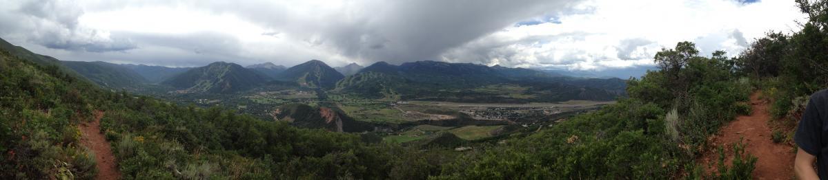
Mountain Biking Sunnyside Trail
#1,014 of 1,368 mountain bike trails in Colorado
Sunnyside Trail begins with a long brutal climb up Red Mountain. Once up in the trees the trail flattens out and traverses along the side and back of Red Mountain. The end of the trail (The Plunge) is a skinny and fast descent into Hunter Creek Valley. *Many people ride up Four Corners Road and either take The Plunge back into Hunter Creek Valley or they come down the front side of Red Mountain (The beginning of the trail).
First added by bikerboy3 on Aug 8, 2013. Last updated Apr 28, 2020. → add an update
Before you go
- Drinking water: unknown
- Lift service: unknown
- Night riding: unknown
- Pump track: unknown
- Restrooms: unknown
- Fat bike grooming: unknown
- E-bikes allowed: unknown
- Fee required: unknown
This trail information is user-generated. Help improve this information by suggesting a correction.
Start in Aspen. Take Cemetery Lane down past Henry Stein Park on the left. About a half mile past the bridge on Cemetery Lane there will be a parking lot on the left. Some people choose to start in Hunter Creek which is an easier ascent.


Loading reviews...View more