×

|
Rate it:
Tags:
Level: Advanced
Length: 5.3 mi (8.5 km)
Surface: Singletrack
Configuration: Out & Back
Elevation: +896/ -0 ft
Total: 2 riders
Mountain Biking Stafford Creek #1359
#128 of 1,209 mountain bike trails in Washington
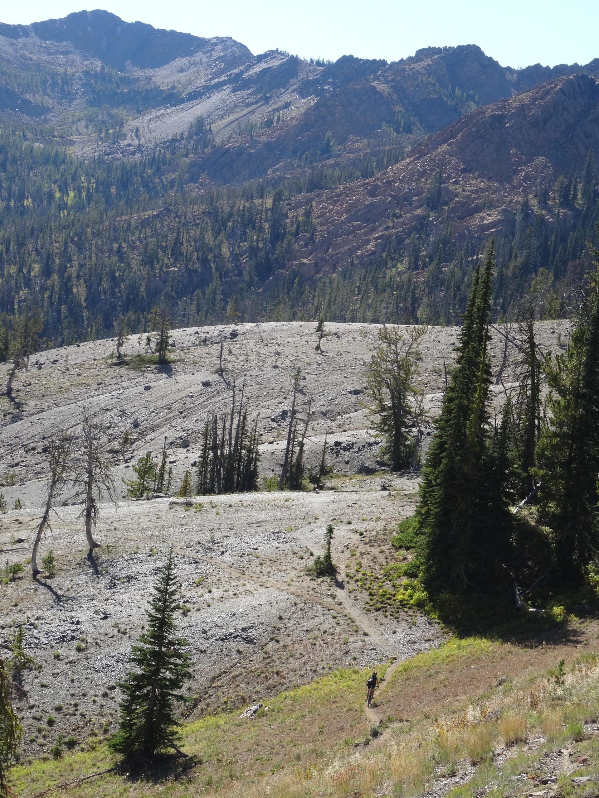
Stafford Creek as a steep, rocky, prolonged 3,000 foot climb from FR 9703 to the Alpine Lakes Wilderness Boundary. Don't go beyond the wilderness boundary!
First added by ACree on Sep 7, 2014. Last updated Aug 8, 2020. → add an update
Before you go
- Drinking water: unknown
- Lift service: unknown
- Night riding: unknown
- Pump track: unknown
- Restrooms: yes
- Fat bike grooming: unknown
- E-bikes allowed: unknown
- Fee required: unknown
This trail information is user-generated. Help improve this information by suggesting a correction.
Head up the Teanaway valley on Teanaway road. At the intersection of WF Teanaway, hold right on Teanaway road and continue up the North Fork of the Teanaway (road becomes the NF Teanaway). The road will turn to gravel. Go right on 9703. TH will be on the left in approximately 2 miles. Parking is on the right (NW Forest Pass required). There is abundant parking outside of the area where forest passes are required.


Loading reviews...View more