×

|
Rate it:
Tags:
Level: Beginner
Length: 12 mi (19.3 km)
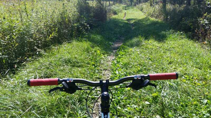
Surface: Singletrack
Configuration: Network
Elevation: -
Total: 33 riders
Mountain Biking Salt Creek Singletrack
#36 of 128 mountain bike trails in Illinois
Best singletrack is generally on the South/West side of the creek until Mannheim Road, then take the paved trail South and West until you reach the Bemis Woods trail network, or continue on into DuPage County and check out Fullersburg Woods. See www.1track.org (yo, this links to a porn site) for maps and more details...
First added by 1trackdotorg on Sep 17, 2009. Last updated May 3, 2020. → add an update
Before you go
- Drinking water: unknown
- Lift service: unknown
- Night riding: unknown
- Pump track: unknown
- Restrooms: unknown
- Fat bike grooming: unknown
- E-bikes allowed: unknown
- Fee required: unknown
This trail information is user-generated. Help improve this information by suggesting a correction.
Begin at 31st Street 1 mile West of First Avenue, just across from the Brookfield Zoo. There are singletrack trails on both sides of the Salt Creek all the way West to the DuPage County line and beyond! See www.1track.org (yo, this links to a porn site) for maps and more details...


I love this trail. I just started riding in April and live a block away from the trail. It's a a paved path, except when you get int cricket creek then its crush limestone. IT isn't a straight shot which I like. Lots of twists and turns.It more private. Not a lot stop and go's like the Praire Path. I always stop when I get to Irving park road, but I have road Bemis woods. And that is really nice too...
| Thank