×

|
Rate it:
Tags:
Level: Intermediate
Length: 20 mi (32.2 km)
Surface: Singletrack
Configuration: Network
Elevation: +443/ -410 ft
Total: 19 riders
Mountain Biking Rosamond Circuit
#187 of 1,005 mountain bike trails in California
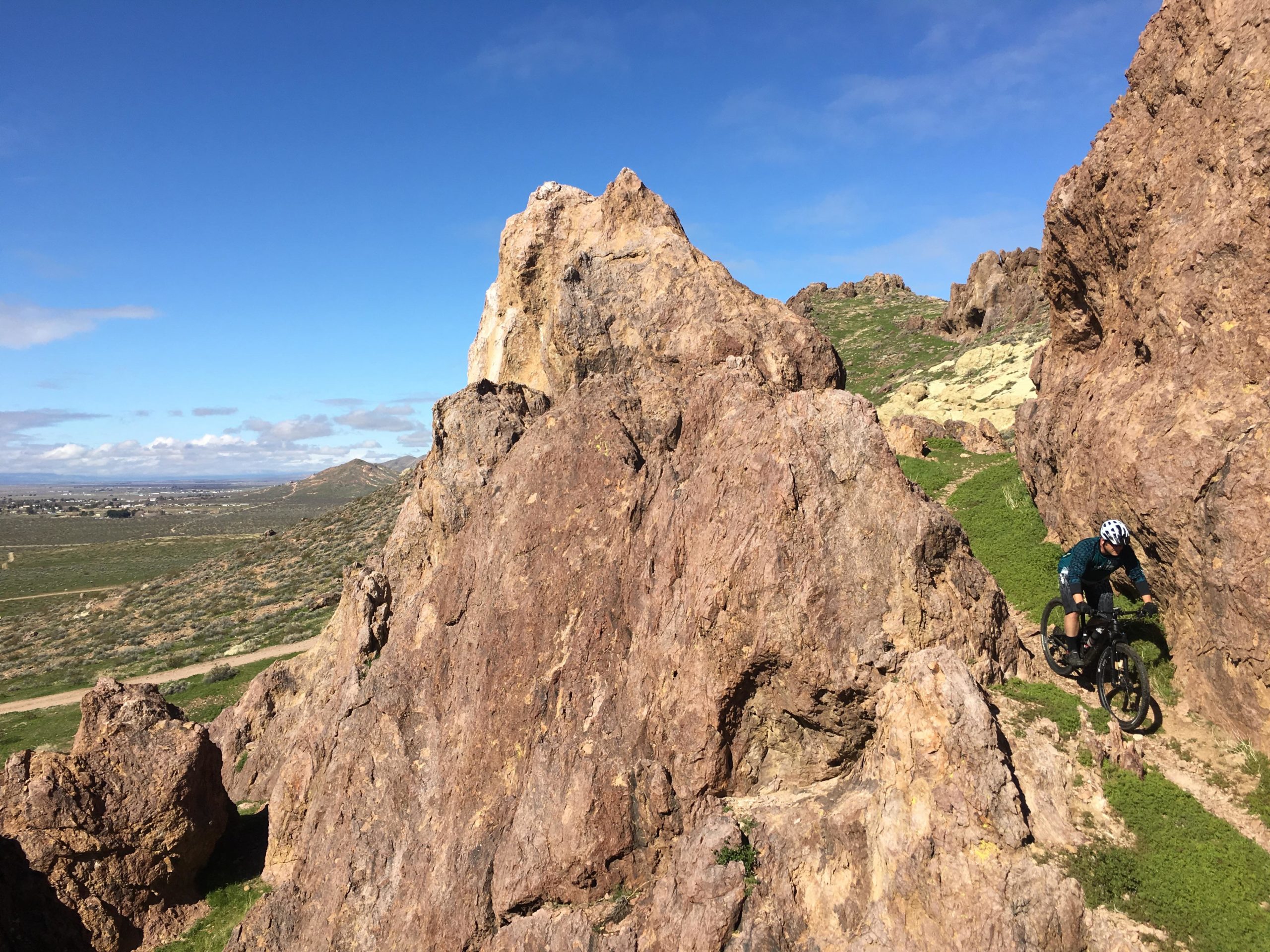
A system of dirst and gravel roads, and single track is in front of the peaked ridge and behind it.
You can take a loop around to the west and around the back of the ridge where there is more trail system to add more distance to your ride by taking different variations... then go over the peak in the center of the ridge (2 access points to go over).
To climb the front side of the peaks is steep and techincal. The back side is more managable.
First added by searsandrewj on Jun 29, 2009. Last updated Apr 28, 2020. → add an update
Before you go
- Drinking water: unknown
- Lift service: unknown
- Night riding: unknown
- Pump track: unknown
- Restrooms: unknown
- Fat bike grooming: unknown
- E-bikes allowed: unknown
- Fee required: unknown
This trail information is user-generated. Help improve this information by suggesting a correction.
Off highway 14
Take Rosamond Blvd Exit
west on to Rosamond Blvd Exit
Right on 35th st ends at kern Water Station where trailhead begins


Loading reviews...View more