×

|
Rate it:
Tags:
Level: Intermediate
Length: 2 mi (3.2 km)
Surface: Singletrack
Configuration: Out & Back
Elevation: -
Total: 48 riders
Mountain Biking Robert E. Lee
#31 of 100 mountain bike trails in Maryland
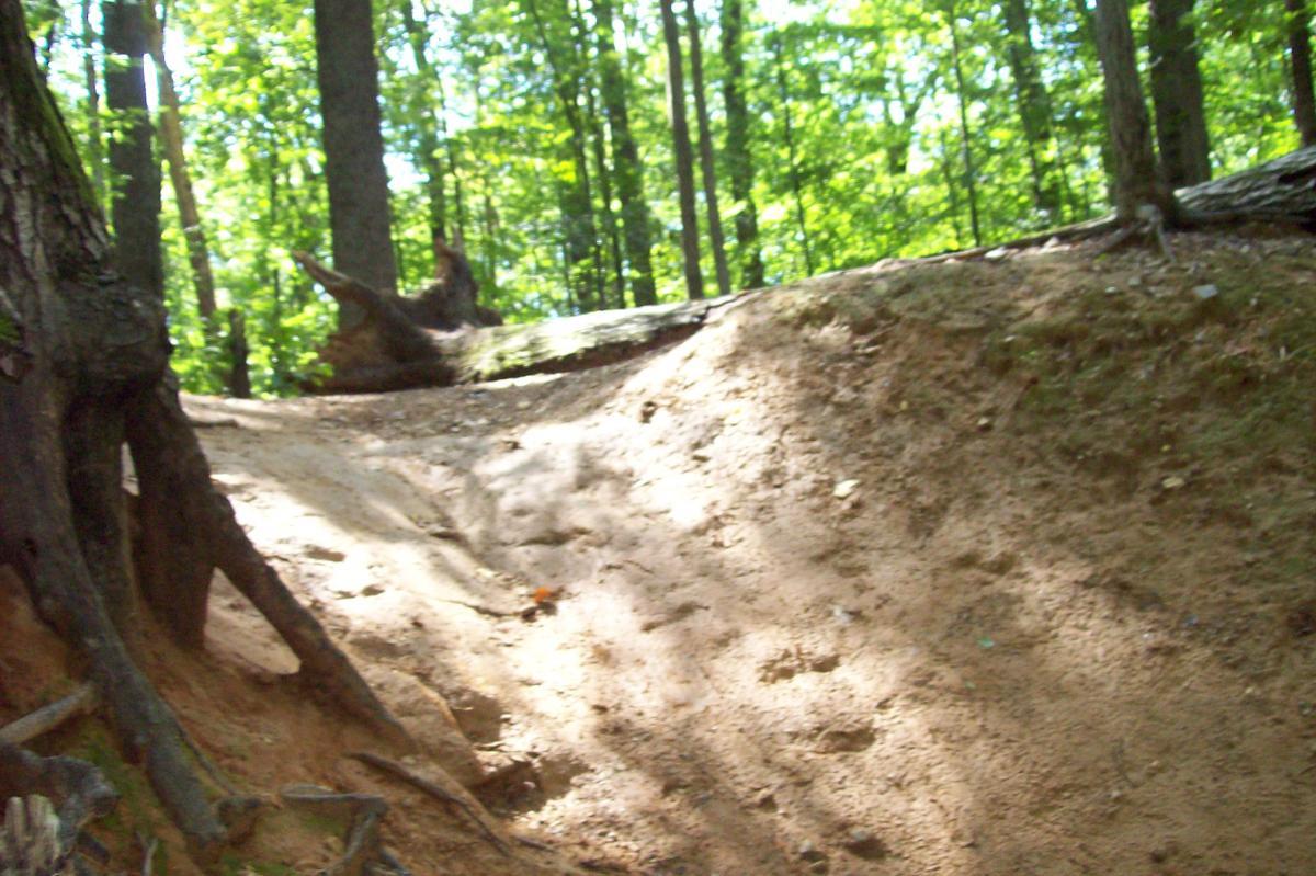
I have been riding this trail for years and am still not bored with it. I just found new trails today that I have never experienced. To find these trails, you have to keep an eye out for the extra fun on the sides and detours off the main trail. Since I have gotten back into riding there, it seems like there has been a bit of neglect (there used to be sweet jumps and other obstacles built by riders), but they have eroded for the most part. There is still "Devil's Ditch:, which is a half pipe-styled ramp which you can't miss, and there seem to be 3 different of these, ranging from huge to beginner. So get out there and lets make this place recognized again, and maybe build some sweet obstacles again.
First added by ScubaSchaef on Aug 1, 2008. Last updated Apr 28, 2020. → add an update
Before you go
- Drinking water: unknown
- Lift service: unknown
- Night riding: unknown
- Pump track: unknown
- Restrooms: unknown
- Fat bike grooming: unknown
- E-bikes allowed: unknown
- Fee required: unknown
This trail information is user-generated. Help improve this information by suggesting a correction.
From 83 South: take Northern Parkway exit EAST, turn left at intersection of Northern Parkway onto Falls Road, After Lake Avenue traffic light be prepared to turn after "Pepe's" sign (look for Robert E. Lee sign), drive down and park as close as you can to bridge, walk into park and trail will begin after light rail tracks which are located on the left of the park...There are also different entrances: a rock garden path near Princeton sports(further down on falls road), and parking on the side of Falls Road near the S-turn(right before the fire station) and walking over the guard rail...
From Greenspring Station: take Falls Road SOUTH, go straight through Ruxton Road traffic light, be prepared to park on opposite side of road at the S-turn(as mentioned above), or continue to Princeton Sports with the rock garden(as mentioned before), or turn left directly before Pepe's(as mentioned before)


Trails are not labeled well but still a good ride ...hidden bmx pump track was a plus ..I ride there a few times a year
| ThankI have been riding this trail on and off for approx. 35 years. I went recently and most of the trails are now off limits to biking. Now just the main trail from light rail tracks to falls rd is the only area that allows biking. A huge disappointment, this trail is the closest to home for a quick ride. Won't be going back
| ThankReally a dog walk. My dog loves it.
| ThankThis can be a fun trail if you know where you are going. None of the trails are marked so you have to discover for yourself. I live about 10 minutes away so i ride here often. I have mapped out about a 5K single ride thus far that has some good climbs, drops, and some technical pieces. great park if you have 30 minutes for a quick ride.
| ThankGreat, fun trail. Its got everything including a great U drop, and a little hidden BMX course. You gotta find it, but its awesome.
| ThankFun trail, relatively short ride. There are a few jumps back in the BMX park. There are some challenging skinnys on top of natural logs. However, the trail does need some serious trail work to make many of the sections ride able, it is very overgrown.* Review edited 7/7/2011
| ThankWe rode the trail this morning and the southeast side if you take the main entrance needs maintenance once you head around the lake. With the pedestrian bridge closed it's better to park further down Falls Road and come into the other side of the trails and then ride into park. The trails in this part of the park are in decent shape with some good rocky trails as you wind though the park.
| ThankI posted that this trail is only 2 miles, but it can be much longer than that, depending on where you go. I meant 2 miles for the main trail, but there are numerous side trails.
| Thank