×

|
Rate it:
Tags:
Level: Advanced
Length: 4 mi (6.4 km)
Surface: Singletrack
Configuration: Lariat
Elevation: +336/ -325 ft
Total: 39 riders
Mountain Biking Rattlesnake Gulch
#590 of 1,368 mountain bike trails in Colorado
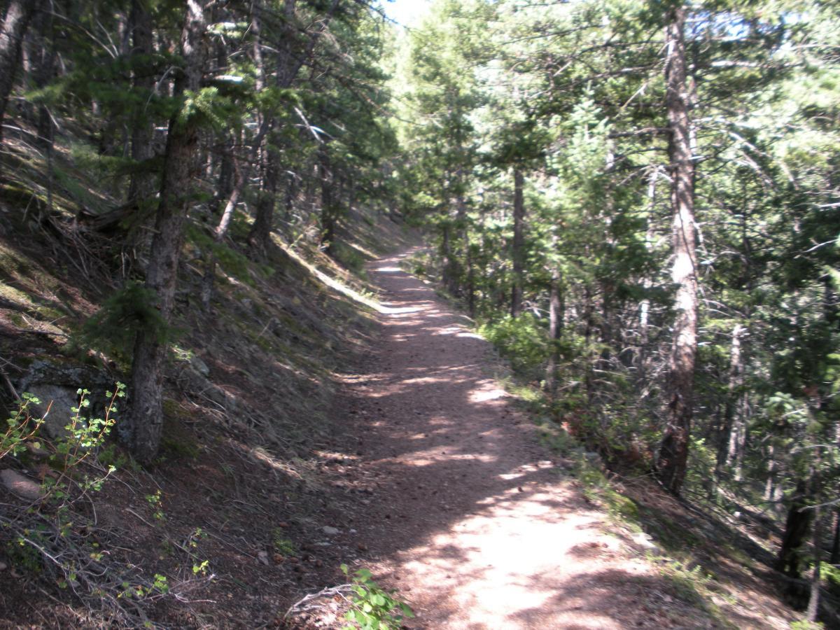
Great scenery, especially at the overlook . It's a brute of a climb, hitting 20% grade regularly, but it's not that long. The trail is basically up to the rail road tracks, and then down. Do the loop counter clockwise as clockwise, the climb is steeper and has very loose rocks, making it tough. Careful on the downhill, as it's fast and there are plenty of steep trail sides.
First added by Rob on Sep 16, 2006. Last updated May 10, 2020. → add an update
Before you go
- Drinking water: unknown
- Lift service: unknown
- Night riding: unknown
- Pump track: unknown
- Restrooms: unknown
- Fat bike grooming: unknown
- E-bikes allowed: unknown
- Fee required: unknown
This trail information is user-generated. Help improve this information by suggesting a correction.
It's in Eldorado Canyon State Park. From Boulder, drive south on CO HWY 93 5 miles to CO HWY 170. Take this west for 2.5 miles to the entrance to the park. The trail head is on the south side of the road, a couple of miles into the park. I park at the lot beyond the trail head, which is where this track is from.


Loading reviews...View more