×

|
Rate it:
Tags:
Level: Intermediate
Length: 12 mi (19.3 km)
Surface: Fire Road
Configuration: Loop
Elevation: +916/ -908 ft
Total: 9 riders
Mountain Biking Peavine Ridge
#225 of 1,005 mountain bike trails in California
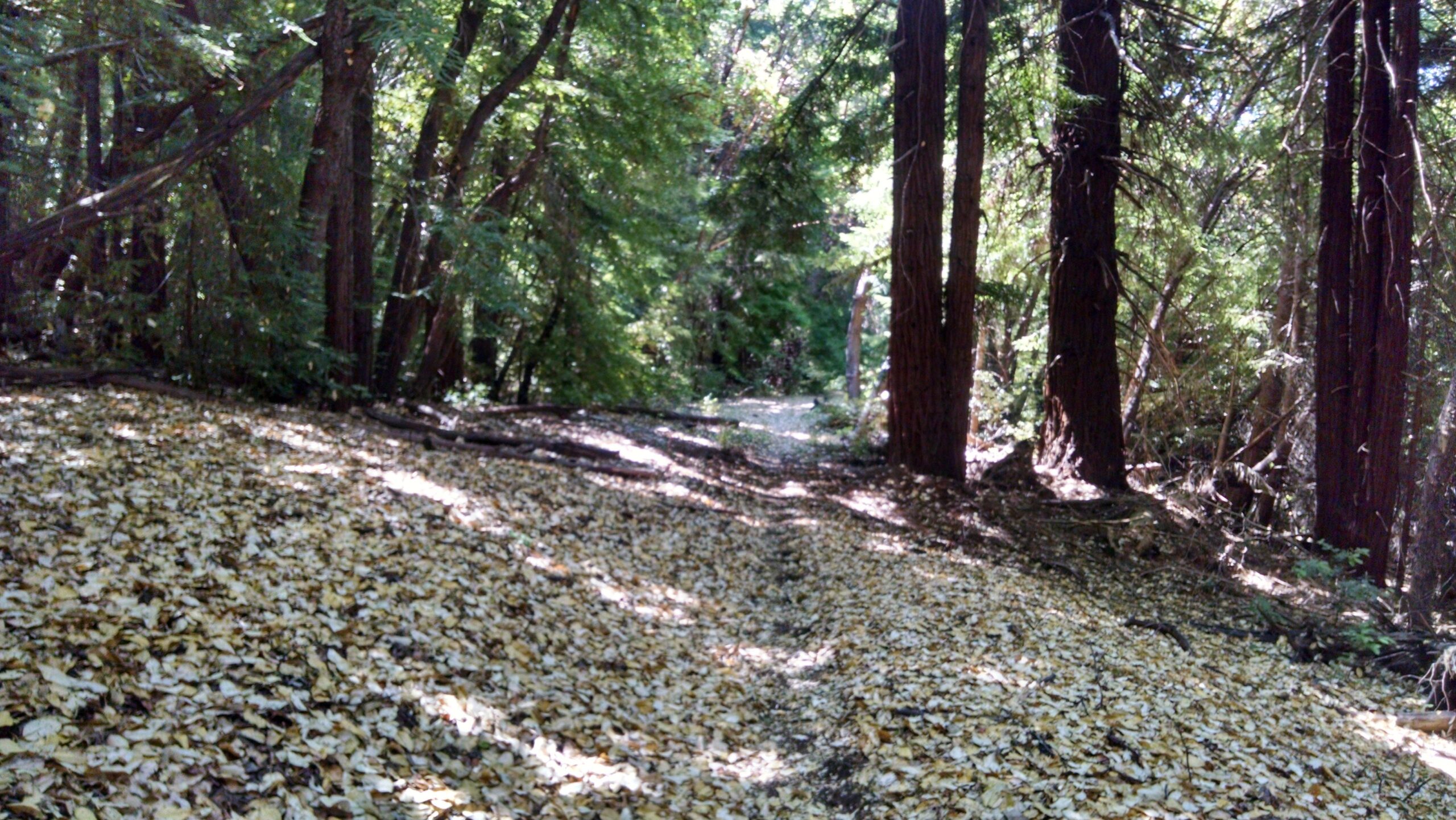
The first 3.5 miles is all uphill. Look Prairie Road ends at the top where it intersects with Peavine Ridge Road. Go Left on Peavine for another 3.7 miles until the road splits in two directions. At the split go left down Thornton Road. This is the best part of the whole ride, 5.2 miles all downhill on a narrow singletrack through redwoods and grassy meadows.
First added by kme0w2002 on Jun 15, 2010. Last updated Apr 28, 2020. → add an update
Before you go
- Drinking water: unknown
- Lift service: unknown
- Night riding: unknown
- Pump track: unknown
- Restrooms: unknown
- Fat bike grooming: unknown
- E-bikes allowed: unknown
- Fee required: unknown
This trail information is user-generated. Help improve this information by suggesting a correction.
Go 25 miles north of Garberville or 30 miles south of Eureka on Hwy 101. Take Exit 263, make a left on Ave of the Giants and go over the bridge. Make a left onto Mattole Road right after the bridge and follow this road for roughly 2 or 3 miles. The trailhead is located on the right and is marked with a trail marker that says Look Prairie Road. You can buy a map at the ranger station at the Albee Creek Campground a few miles farther down the road.


Loading reviews...View more