×

|
Rate it:
Tags:
Level: Intermediate
Length: 5 mi (8 km)
Surface: Singletrack
Configuration: Network
Elevation: +265/ -224 ft
Total: 60 riders
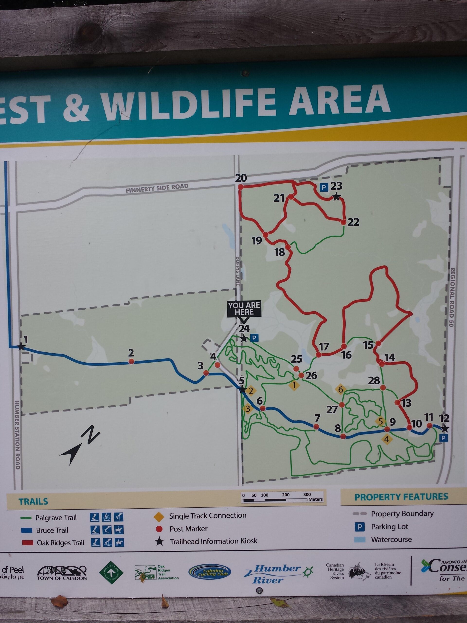
Mountain Biking Palgrave Trail
#48 of 312 mountain bike trails in Ontario
Packed Sand, great to ride in rain or shine, lost of twists and turns to keep it fun and some good climbs. Map at the parking lot to guide you through the double track to get to the head of the single.
First added by on Apr 5, 2012. Last updated Apr 28, 2020. → add an update
Before you go
- Drinking water: unknown
- Lift service: unknown
- Night riding: unknown
- Pump track: unknown
- Restrooms: unknown
- Fat bike grooming: unknown
- E-bikes allowed: unknown
- Fee required: unknown
This trail information is user-generated. Help improve this information by suggesting a correction.
Parking on the west side of Hwy 50, a few hundred meters north of Palgrave.


Loading reviews...View more