×

|
Rate it:
Tags:
Level: Intermediate
Length: 9 mi (14.5 km)
Surface: Singletrack
Configuration: Network
Elevation: +135/ -145 ft
Total: 22 riders
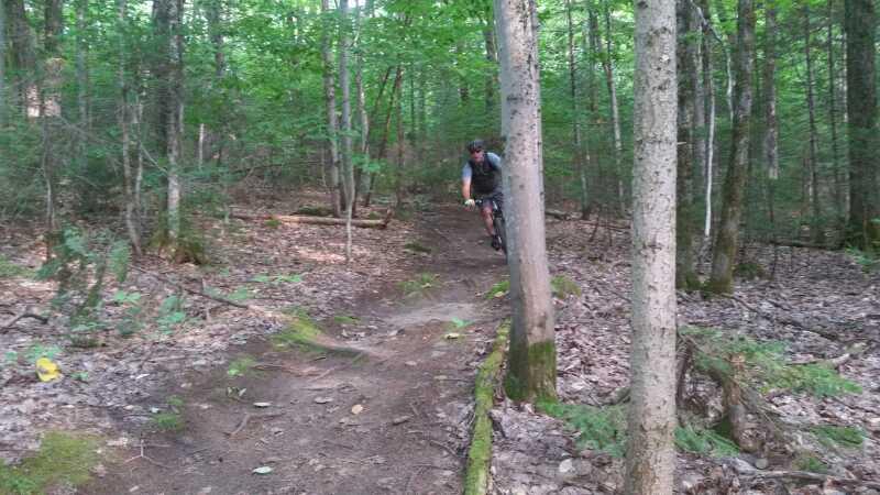
Mountain Biking Mont Chatel
#18 of 94 mountain bike trails in Quebec
Plein de trail dans le secteur.
Note: many of the established trails run through private property. Only the trails within the park are allow mountain biking.
First added by searsandrewj on Oct 23, 2014. Last updated May 22, 2020. → add an update
Before you go
- Drinking water: unknown
- Lift service: unknown
- Night riding: yes
- Pump track: unknown
- Restrooms: unknown
- Fat bike grooming: yes
- E-bikes allowed: unknown
- Fee required: unknown
This trail information is user-generated. Help improve this information by suggesting a correction.
https://www.google.ca/maps/@46.8561923,-71.394296,16z


Loading reviews...View more