×

|
Rate it:
Tags:
Level:
Length: 2 mi (3.2 km)
Surface: Singletrack
Configuration: Out & Back
Elevation: +1,189/ -1,539 ft
Total: 7 riders
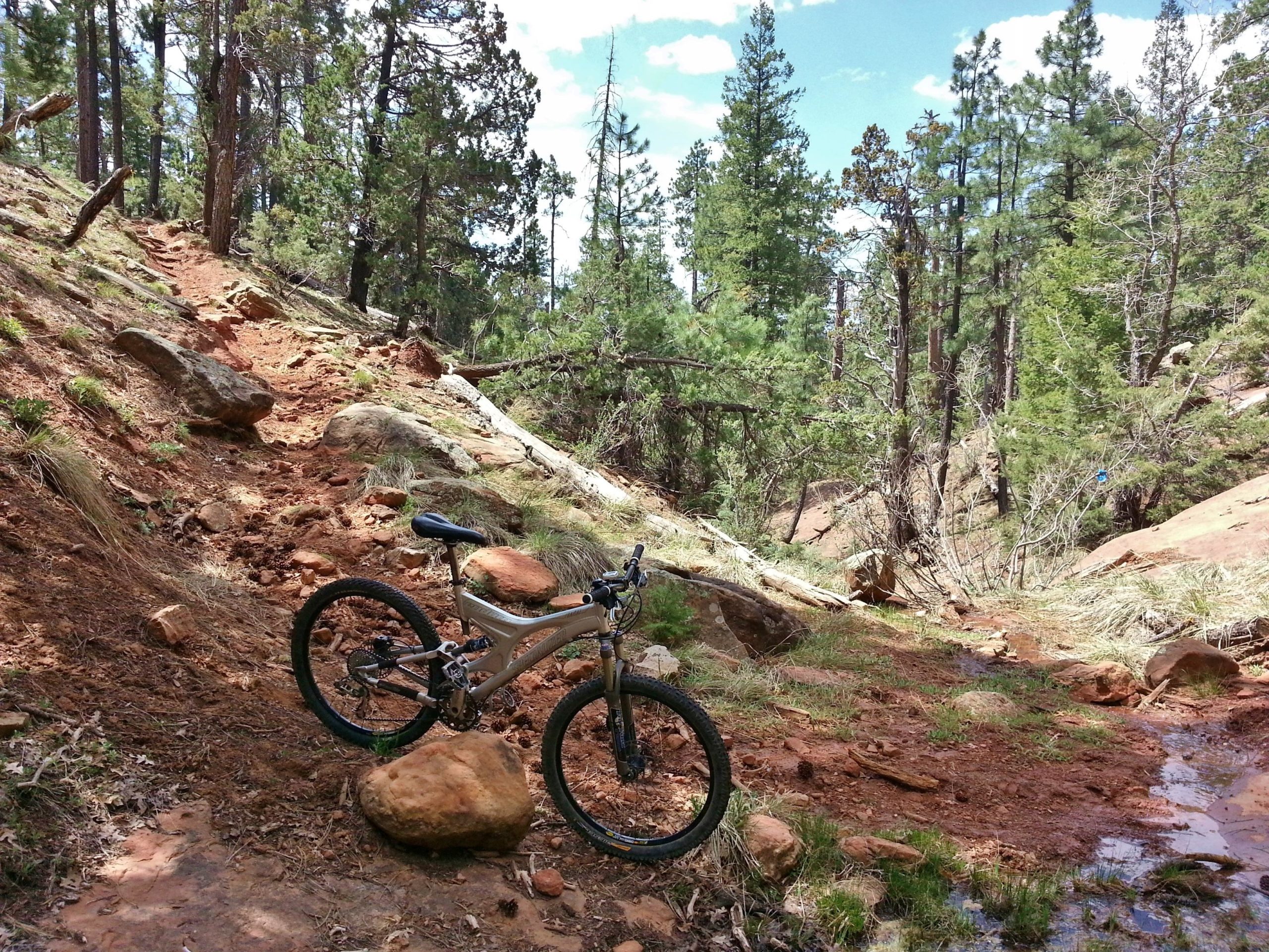
Mountain Biking Military Sinkhole Trail #966
#275 of 410 mountain bike trails in Arizona
This is probably the easiest trail down the Mogollon Rim in terms of steepness and hazards along the way. source: fs.usda.gov
First added by searsandrewj on Oct 20, 2014. Last updated Apr 27, 2020. → add an update
Before you go
- Drinking water: unknown
- Lift service: unknown
- Night riding: unknown
- Pump track: unknown
- Restrooms: unknown
- Fat bike grooming: unknown
- E-bikes allowed: unknown
- Fee required: unknown
This trail information is user-generated. Help improve this information by suggesting a correction.
From the north - Take Forest Road 34 to Forest Road 300; turn left and proceed 1.3 miles past where the pavement begins (on right, just beyond the bridge) and watch for the trailhead sign.
From the south - Take State Highway 260 to Forest Road 300 and then drive 2 miles to a signed parking area just before the bridge on the left.


Loading reviews...View more