×

|
Rate it:
Tags:
Level: Intermediate
Length: 40 mi (64.4 km)
Surface: Singletrack
Configuration: Network
Elevation: +903/ -1,045 ft
Total: 25 riders
Mountain Biking McCoy Flat Trails
#27 of 696 mountain bike trails in Utah
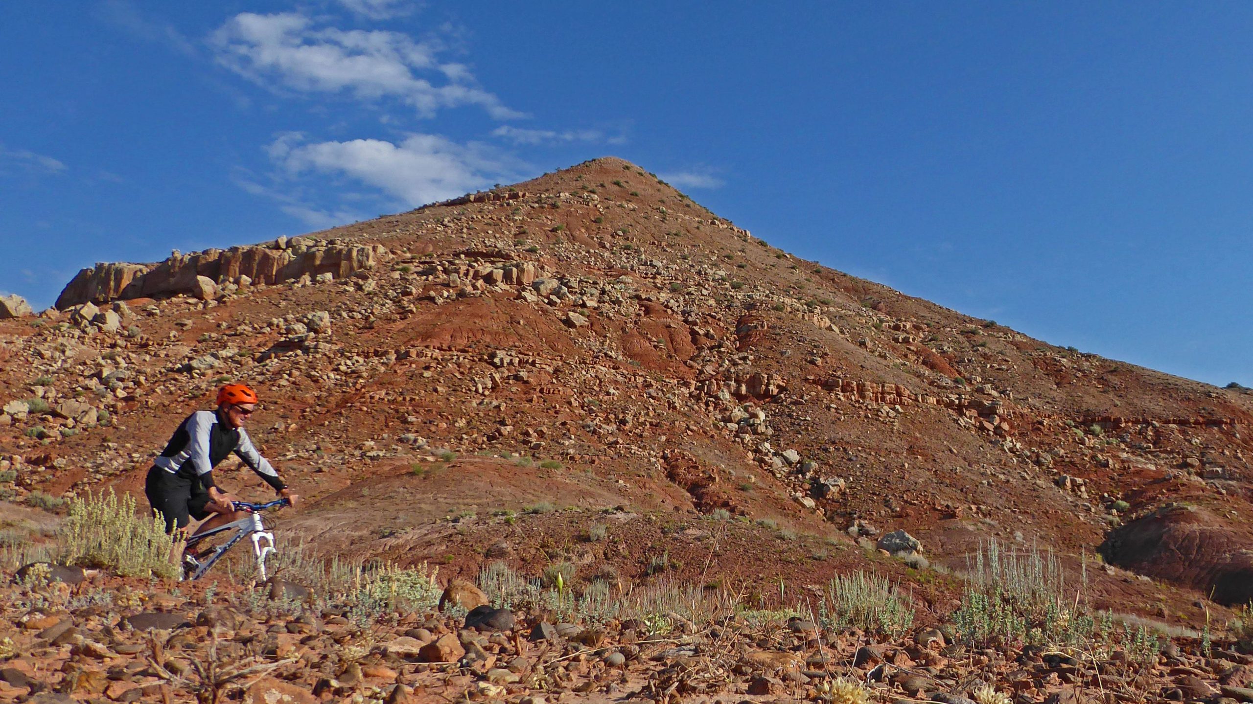
World Class singletrack abounds in the abandoned oil fields of Asphalt Ridge. There are at least 8 impressive trails to link up to make a great day of riding here. From cruiser singletrack on Got Milk and Cookies to technical moves on More Hoes and More Pimps, the quality of singletrack in McCoy Flat is superb! Grab a map at Altitude Cycles to make your day more enjoyable.
First added by david_darling on May 14, 2011. Last updated May 11, 2020. → add an update
Before you go
- Drinking water: unknown
- Lift service: unknown
- Night riding: unknown
- Pump track: unknown
- Restrooms: unknown
- Fat bike grooming: unknown
- E-bikes allowed: unknown
- Fee required: unknown
This trail information is user-generated. Help improve this information by suggesting a correction.
From Altitude Cycles in Vernal, west on Hwy 40 aprox. 6.5 miles, past the overhanging powerlines and a left (south) onto McCoy Flat Rd. and 3 miles to the Corrals parking TH.
System trails (7)
Featured in


Loading reviews...View more