×

|
Rate it:
Tags:
Level:
Length: 17 mi (27.4 km)
Surface: Singletrack
Configuration: Other
Elevation: -
Total: 3 riders
Mountain Biking Maple Highlands Trail-Mountain Run Station
#94 of 116 mountain bike trails in Ohio
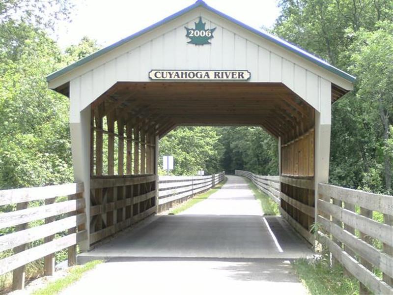
This section of the Maple Highlands Trail was completed in 2007. It travels travel east and south from South Street in Chardon to Headwaters Park, traversing 8.2 miles through woodlands, along wetlands and farm fields. There is parking, Chardon Rotary Shelter, a picnic area and restrooms available at Mountain Run Station.
First added by squirrelrevolution on Aug 13, 2015. Last updated Apr 23, 2020. → add an update
Before you go
- Drinking water: unknown
- Lift service: unknown
- Night riding: unknown
- Pump track: unknown
- Restrooms: unknown
- Fat bike grooming: unknown
- E-bikes allowed: unknown
- Fee required: unknown
This trail information is user-generated. Help improve this information by suggesting a correction.
South Street in Chardon


Loading reviews...View more